
Thursday, May 10th, 2018
Day 6: Pilgrim Path No 3 Cosán na Naomh (11.93 miles plus 2.65 in error)
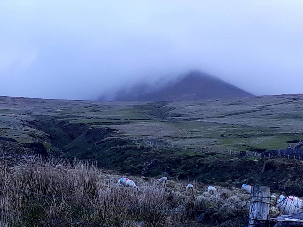
The day started well, chilly but sunny as I drove to Mount Brandon (Cnoc Bréanainn) to wait for Sean, the taxi driver. Mount Brandon, notoriously dark and broody, is the end of today’s walk. An additional 4 hours will get me to its summit and back …
He arrived promptly at 9:00 am. He drove in a reclined position, at ease with the roads. We set off for Ventry at breakneck speed down tiny, bumpy roads, passing buses and other large vehicles swiftly and with millimetres between them and the hedges.
Frozen in my seat with fear, I commented that he must know these roads very well. “Ah, ya get used to ’em, I drive ’em every day,” he replied. I marvelled that he was still alive!
Sean told me that he often brings people out to walk this trail. We got to talking about the weather, as is customary for the Irish and the Cornish. We compared this winter’s snow stories, and he enthusiastically showed me pictures on his mobile… whilst driving, they were rather good. But I was glad to reach Ventry alive and start my walk.
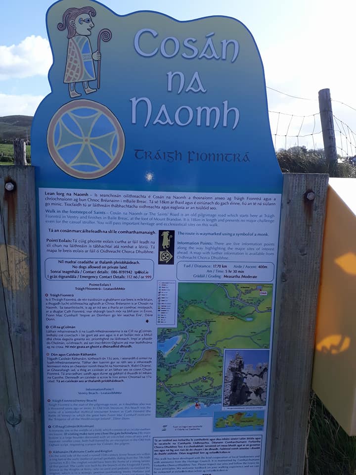
Cosán na Naomh, also known as the Saints’ Road, is a pilgrimage route on Ireland’s Dingle Peninsula, marked by a mix of ancient stones and modern waymarkers.
The route begins in Ventry and ends at Mount Brandon, featuring cross-inscribed stones and wooden posts with a stylised monk symbol.
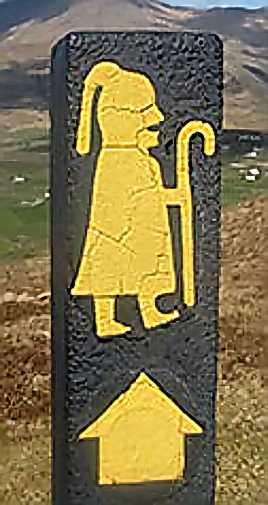
The route started across the road from the car park. The first waymarker seemed to point straight ahead. Fairly quickly, my map started to make little sense. Backtracking, I found an arrow that led to another ‘monk.’ Perhaps there had been diversions, and my map was not up to date?
More markers; I must be going the right way? But why was I headed back to Ventry Beach? It turned out that the first marker pointed right shortly after crossing the road. I had been following the markers from Mount Brandon to Ventry, not Ventry to Mount Brandon.
In my defence, the direction arrow was overpainted and easy (I thought) to confuse. It was also positioned on the left-hand side of the road rather than on the right at the actual turning.’ This error wasted time and mileage (2.65) and left me cursing as always… but once on track, the route wound its way up by road, ‘away’ from Ventry Strand.
The road continued for 3 miles, firstly along the southern flank of Leataoibh Beag (Lateevebeg) with views across the fields of the tower-house of Ráth Sheanáin (Rahinanne).
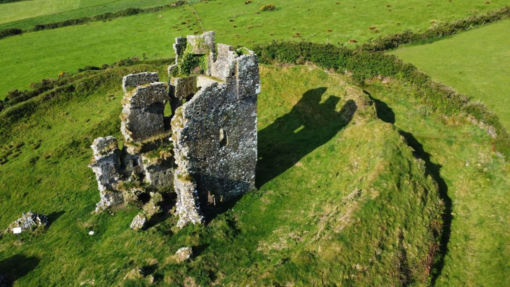
Sadly, it was on private land with no access. The road then curved along the northern flank of Leataoibh Beag and Leataoibh Mór (Lateevemore). There were excellent views up here of Ceann Sibéal (Sybil Head), An Triúr Deirféar (The Three Sisters), Ceann Bhaile Dháith (Ballydavid Head), and Binn Bhaile Reo (Beenmore).
The path then turned onto a farm track and a muddy sheep-droving path, which wound quietly through fields and country lanes until Gallarus. Here I had to pause briefly, as I came upon three men lined up by the hedge in the distance, having a pee! I waited until they were done.
It made for much witty banter when I caught up to them. I had stumbled upon a group of French tourists in the car park; they were also there to see the Oratory. I had assumed that this would be in a quiet field en route… nope, it’s now a busy tourist centre.
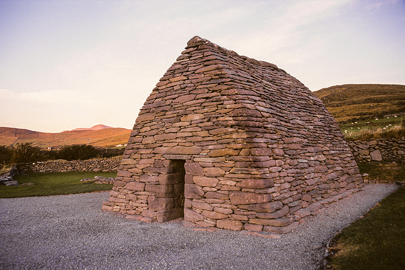
The pilgrim signs point left here and detour around both entrances to continue on down the road. My map showed a path passing the Oratory and the castle. I guess this was the original path before it became a much larger tourist centre. Never mind, I walked around via the road, paid my €4, and spent time exploring and eating lunch.
Sáipéilín Ghallarais (Gallarus Oratory) marks what was perhaps an old monastic site, with an accompanying burial area in the form of a raised platform of stones.
There is also Caisleán Ghallarais (Gallarus Castle), a four-story tower with a vaulted ceiling on the top floor, which was built by the FitzGeralds, likely in the 15th century. It is one of the few remaining castles on the Dingle Peninsula. It had been lovingly restored, but sadly, the castle was closed.
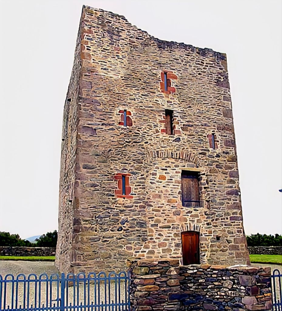
I could see from my map that the castle led back to the road. But I couldn’t see any waymark. So I walked back to the tourist centre and to the trail sign on the road. Lo and behold, other markings led me straight back to the castle. I looked around again for any further signs… nothing, just a gate by a house that led into a field and onto a grassy track with a wall on one side and a hedge on the other. This led me down to a road where I finally picked up the signposts again.
Now this might seem trivial; I have a map, I’m not lost… but missing posts, wonky posts – set at a jaunty angle- and hidden posts, they vex me greatly. Yes, I could take another path, but you might end up trespassing. Also, when following a walking trail, you want to follow it as faithfully as possible.
As John G O’Dwyer pointed out in his guide, “you feel somewhat cheated if you miss a part, like you haven’t completed the walk“.
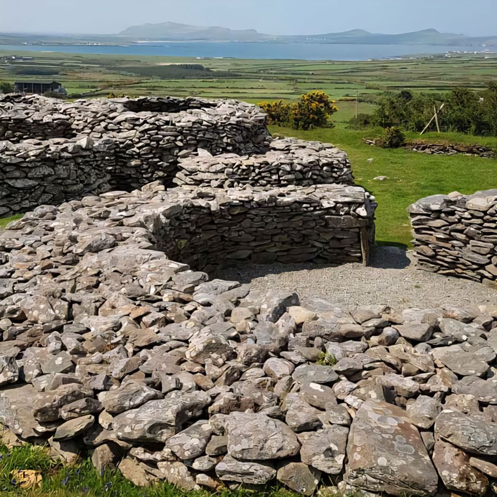
Anyway, en route once more, I walked past several archaeological wonders. The Cathair Deargáin (Caherdorgan), a stone fort or Cashel.
Further on, I saw a very robust rectangular building known as Fothrach an tSainsiléara (The Chancellor’s House).
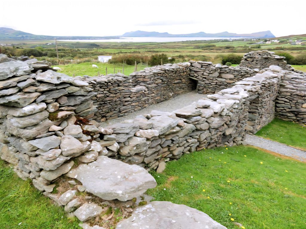
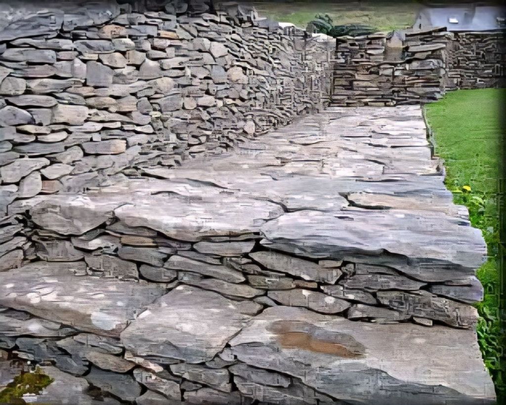
I sat on the Chancellor’s steps for a while. A hooded crow croaked overhead, and I pondered what life must have been like here. The Chancellor certainly had a cracking view from his window overlooking Smerwick Harbour.
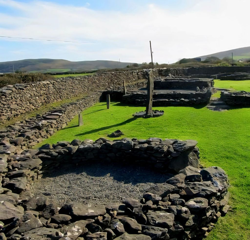
A bit further on down the road is the important ecclesiastical site – Cill Maolchéadair (Kilmalkedar). It includes a Romanesque church, an Ogham stone, a sundial, a bullaun, a holy well, Teampaillín Bréanainn (St. Brendan’s Oratory), and Fothrach Bréanainn (St. Brendan’s House).
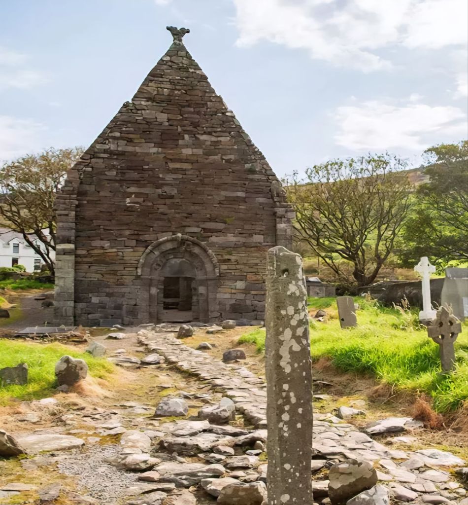
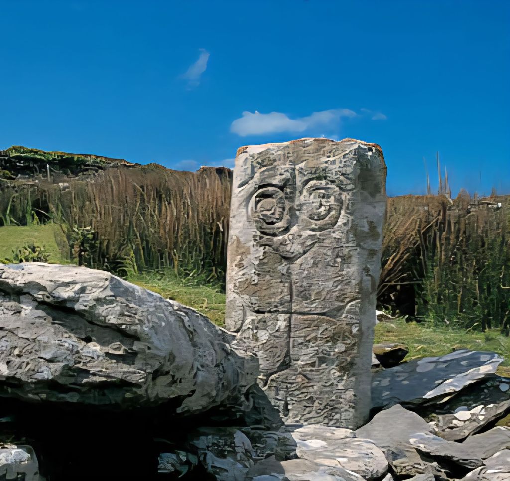
An ogham stone stands along the pathway leading to Kilmalkedar Church.
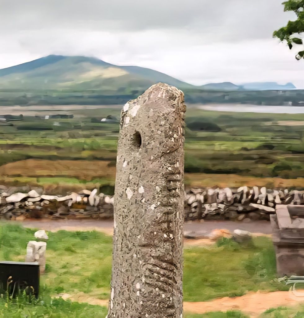
A large stone cross, over 2 meters tall, is located near an ogham stone. During the digging of a nearby grave, it was discovered that an additional 1.8 meters of the cross’s shaft extends underground.
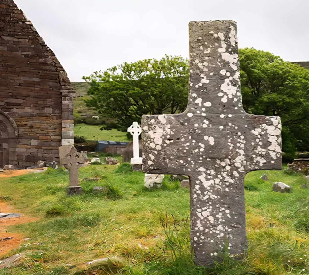
The sundial at Kilmalkedar, considered one of Ireland’s finest, is situated at the western end of the graveyard. It features a rectangular shaft with line decorations and a semi-circular head. A central hole on the head’s southeastern face, which is divided into four sectors, once held a rod that cast a shadow to tell the time. The reverse side of the sundial features a marigold cross design.
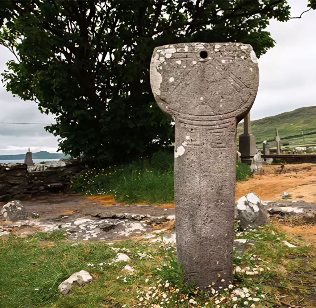
The “Alphabet Stone,” a 1.20m-high pillar stone broken at the top, stands inside the Kilmalkedar church next to the chancel arch. Named for the letters “DNI” (Latin for “Lord”) and a Latin cross with scrolled terminals, it is believed to date as early as the 6th or 7th century.
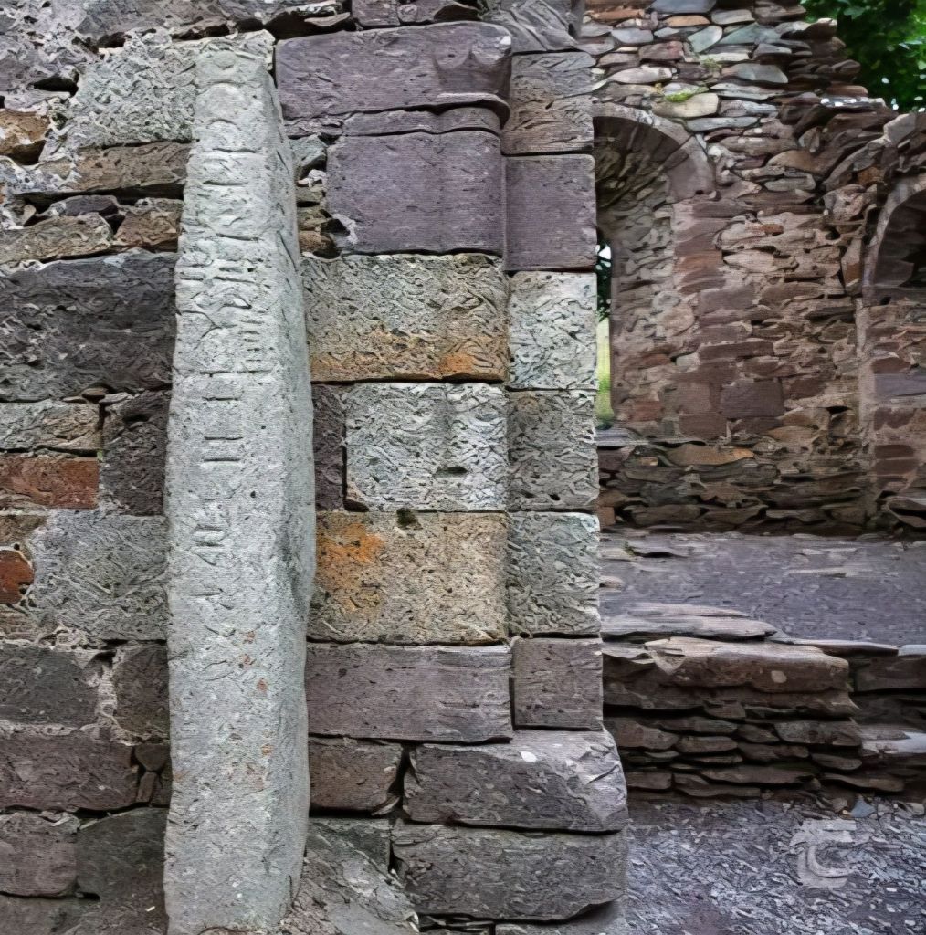
St. Brendan’s House is thought to have provided accommodation for the priest during the later medieval period.
It was an absolutely beautiful sight. I got chatting with Michael, a local tour guide, with two tourists in tow. “What do you think of the carvings?” I told him, interestingly, that I had seen similar designs on a church in Melide on the Camino de Santiago.
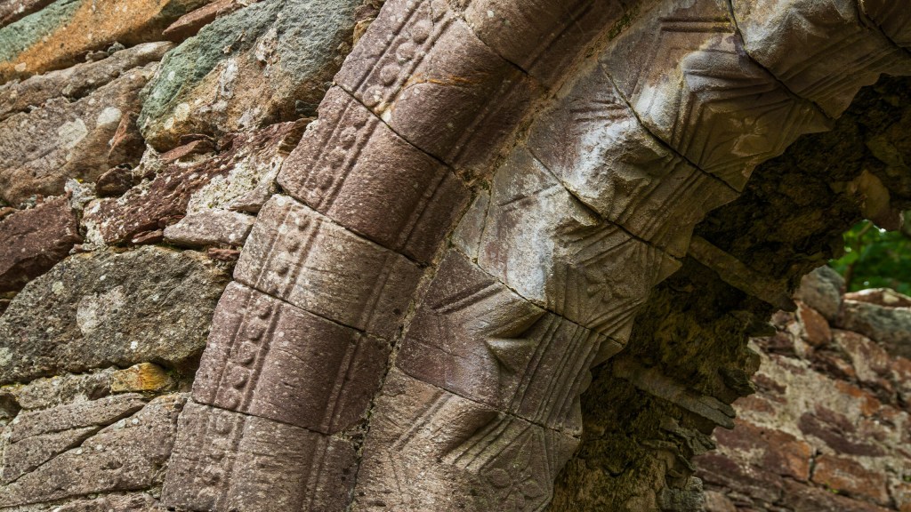
We chatted about which Caminos I had walked and my planned walks here. “Jeez, you must have sinned a lot to be doing all that. You sound like the sort of girl to know, dya want to meet up later?”… urm, as charming as you are, Michael… no… it seems that a nod is as good as a wink to an Irishman.
He wished me safe walking, and on I continued over Cnoc Rinn Chonaill (Reenconnell Hill). A strong wind at my back helped my ascent. Spectacular views of the razor-sharp Three Sisters, Cuan Ard na Caithne, and once over the top, I had fantastic views of Com an Lochaigh (Ballinloghig Valley) and, towards the end, of Mount Brandon. Clouds now lifted from its summit; Brandon was looking so tempting. I could even make out my van in the distance.
Boggy grassland and heather all the way down to the road. My right knee complained with every step. I had managed to walk right past an enclosure by the path, which apparently contained a beehive hut and a broken cross, damn it, I hate missing cool stuff.
Finally, the end was in sight. The remaining two miles were road, with the last mile uphill to my trusty ride in the car park at Baile Breac. Sadly, I had to leave Mount Brandon behind. With an icy wind now howling, I had run out of both time and energy. Something for another day, perhaps …
A quick drive back to the Dingle Tourist Information Office, before 5:00 pm, to get my passport stamped. I also got a certificate for this Pilgrim Trail. Then I headed off for a well-deserved ice cream.
One more night in the car park, on Dingle Seafront; there is no charge after 6:00 pm. Then a couple of days touring up to Co Mayo for walk No 4


Leave a Reply