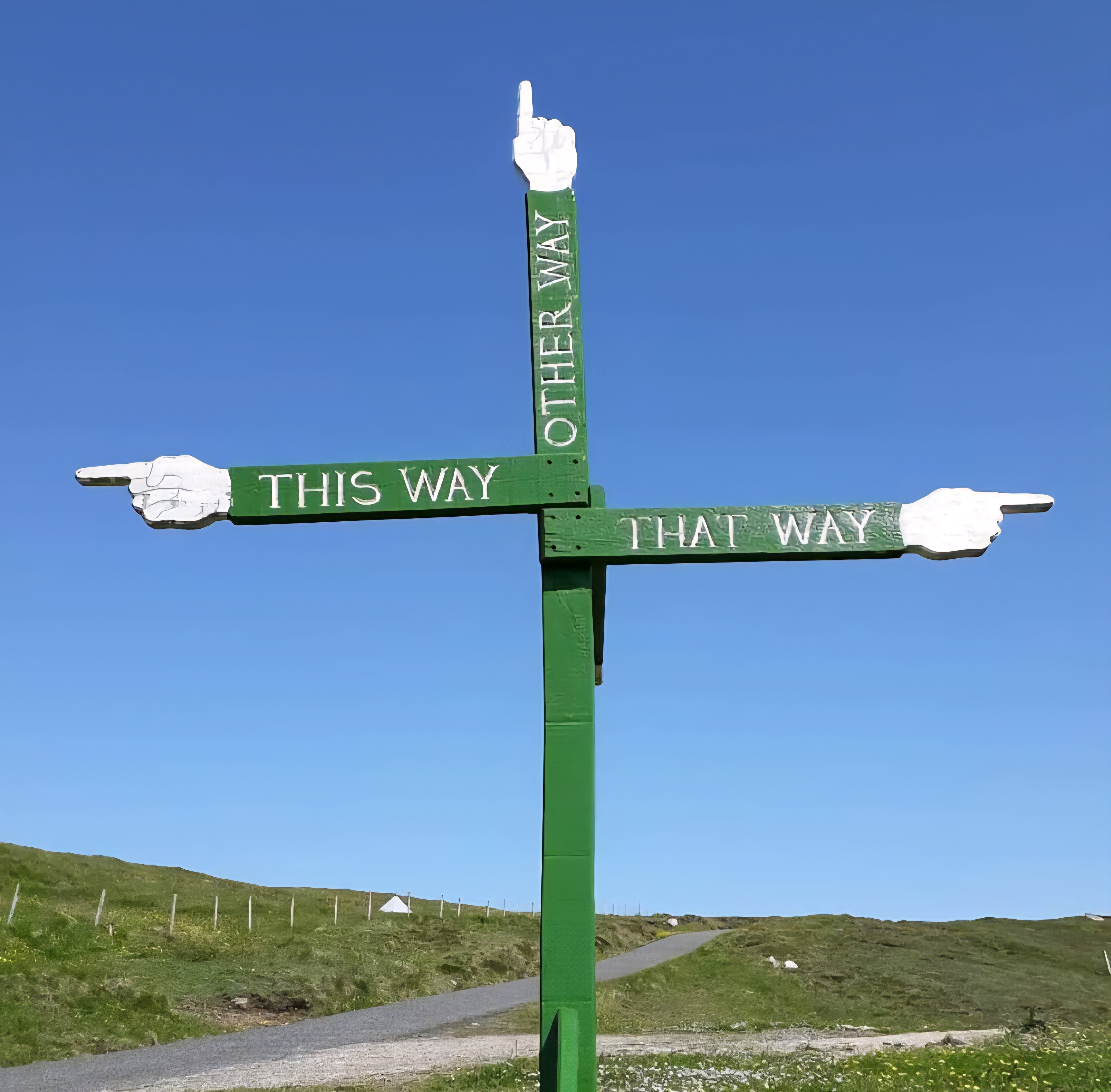

Sunday, May 6th, 2018
Day 2: St Finbarr’s Way (Part 1) – Drimoleague to Kealkill (12.5 miles)
After a good night’s sleep with no disturbances, I enjoyed a shoreside breakfast, drove to Kealkill, and left the van for the day. Then came the very unwise decision to cycle to the start of today’s walk. What was I thinking? Well, there are no transport links out here, so the dilemma, as always, is getting to and from the start/end points. So I came up with the ‘genius’ idea to take my bike along.
Optimistically, and with the help of Google Maps, I estimated it would take about 1.5 hours to cycle to my start point. Even reading this back, it sounds insane, but then I hadn’t met Ireland yet – why did I think it would be flat?
It took over two hours due to the insane hills and my poor cycling fitness. Google Maps didn’t account for that. By the time I reached my start point at ‘Top of the Rock‘ in Drimoleague, I was ready to have a stroke. Plus, the seat had come loose on the bike, and that didn’t help. But… good news: they had Pilgrim passports, excellent!
In the sixth century, St. Finbarr of Cork visited the Top of the Rock and urged the locals to return to Christianity. Apparently, he did so while travelling to or from Gougane Barra.
This location later became the starting point for a long tradition of pilgrimage from Top of the Rock to Gougane Barra. The pilgrimage route, which is a 36 km, two-day journey, is marked with the Slá Bharra marker.
Finally, I set off, later than anticipated (10:30 am), on already tired legs. Starving after my exertions, I stopped after a mile to eat my breakfast by Ahanafunsion Bridge. A lovely, tranquil spot by the river, and I had four dippers for company. I sat watching them, bobbing for their own breakfast.
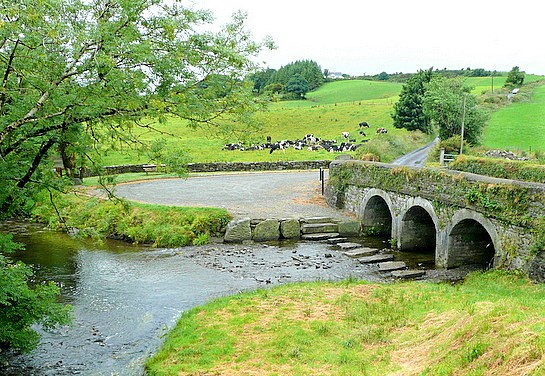
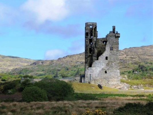
The trail follows the Ilen River and the Deelish Cascades, which reminded me of Dartmoor. Then passed the ruined Castle Donovan, which looked very brooding with the mountains behind it.
Here I met a farmer who was waving me away. Please don’t tell me I’ve gone the wrong way? Nope, the signs definitely point in that direction …
“Cooos cooos yacanacomedownhere “… what?
“Coooos cooos ihavetoletthecoosout” ohhhhh cows, you are bringing cows out. He ushered me back to the corner of the road. “They’re wild,“ he said … There were 3 bullocks? I was expecting a rampaging herd…
They passed calmly without incident, and I walked on, following the Sheep’s Head Way. The trail follows the pleasant, quiet country roads of the Mealagh Valley through forested areas. The trees on the route were painted yellow to guide the way.
There was a fairly steady climb up Mullaghmesha Mountain (600m). From the summit, views open up to the surrounding coastal bays and the Kerry mountains on a clear day. The climb was moderate, but hard after cycling.
It was mostly tracks on the way up, with blanket bog across the top and down the other side. The morning was humid, but mist drifted in at the summit. I postponed lunch as I wanted to get out of here as quickly as possible. The route was very well signed, every few meters or so. But those markers would vanish if the weather deteriorated. Warnings said not to attempt the climb in misty or foggy conditions, and navigation would be essential.
Safely down the other side, the last five miles to Kealkill were road, hard on the legs, but faster than squelching through the bog. I spotted a few walkers en route, but my company was mainly Skylarks, Cuckoos, and Hooded Crows.
I returned to Kealkill just after 5pm and drove back to Drimoleague. David at Top of the Rock had fixed the seat on my bike. But my front tyre was as flat as a pancake – well, that’s that then. The lovely hosts let me use the showers, and I left, smelling and feeling much better.
The drive to the next stage, St Finbarr’s Oratory at Gougane Barra, was on truly awful roads. Sorry, Irish folk, but the inside of my van was trashed by the time I got there. Tomatoes rolling about everywhere. It’s impossible to drive over 30 mph due to potholes and uneven surfaces. I’m not sure some roads were even roads; they had grass down the middle!!!
Gougane Barra (Irish: Guagán Barra, meaning ‘the rock-cleft of Barra’) has an interesting history and is a scenic valley and heritage site in the Shehy Mountains of County Cork. I’m now in the Gougane Barra Hotel drinking a well-earned Guinness. I booked a € 20 taxi for 9 am, as my bike is now out of commission. Not that cycling is a feasible idea in this terrain.
I wasn’t sure I could continue the other Pilgrim ways because of the taxi costs.😥 But I took it one day at a time and planned tomorrow’s walk… There are warnings about the Conigar ridge. I wandered back to the van, parked lakeside, and settled down for the night.


Leave a Reply