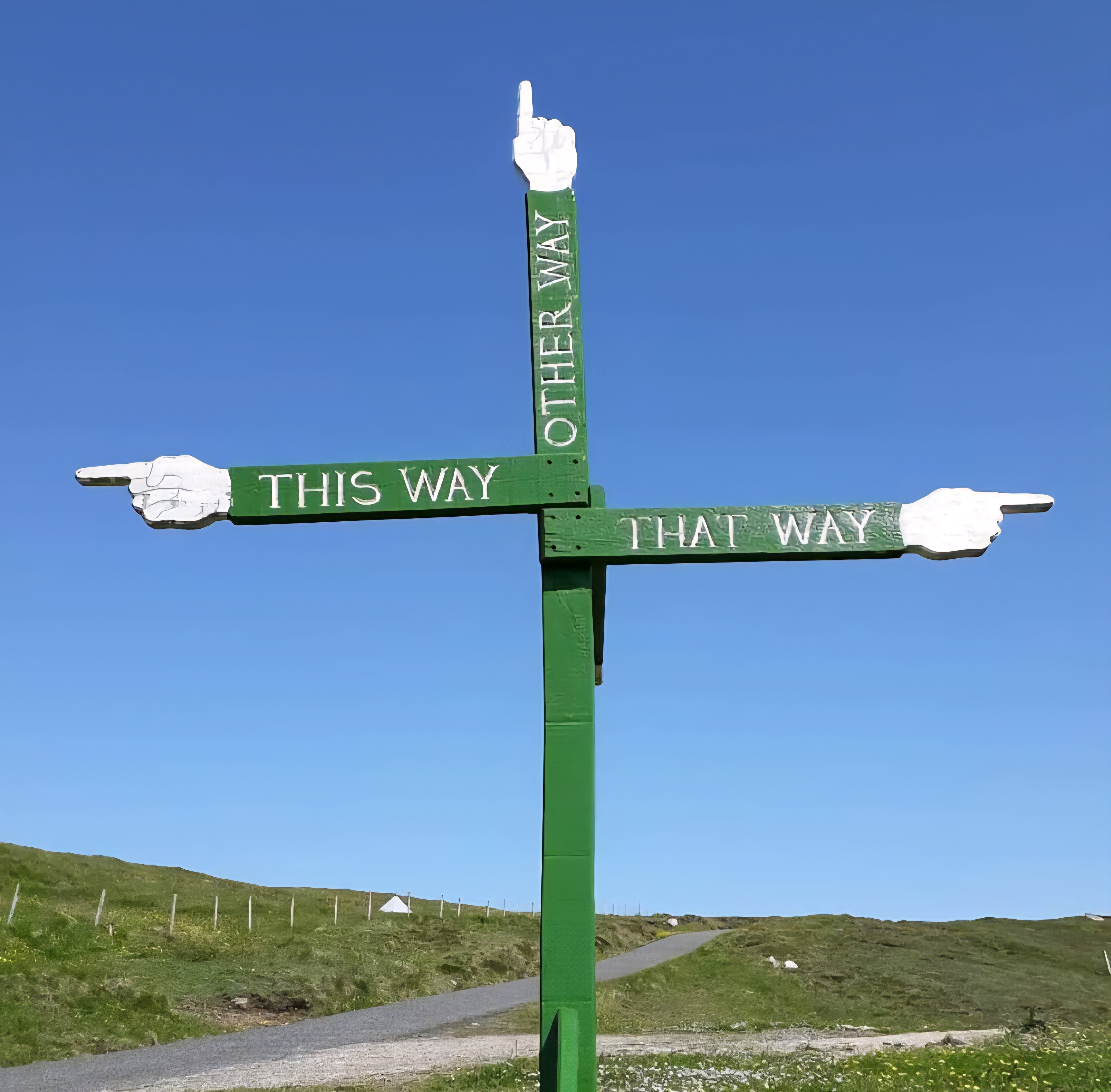

Thorsday June 15th 2023
Day 3: Blackeney to Cromer
(Approx 14.5 miles – Manor Farm Caravan & Campsite)
It was a leisurely start today as the buses don’t run before 9.20 am
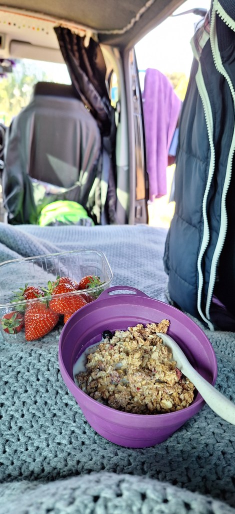
A cheeky little footpath took me neatly from the campsite to East Runton Village. Arriving way too early for the bus. I couldn’t bear standing around for 45 mins, so I decided to walk down to Cromer and catch the bus from there
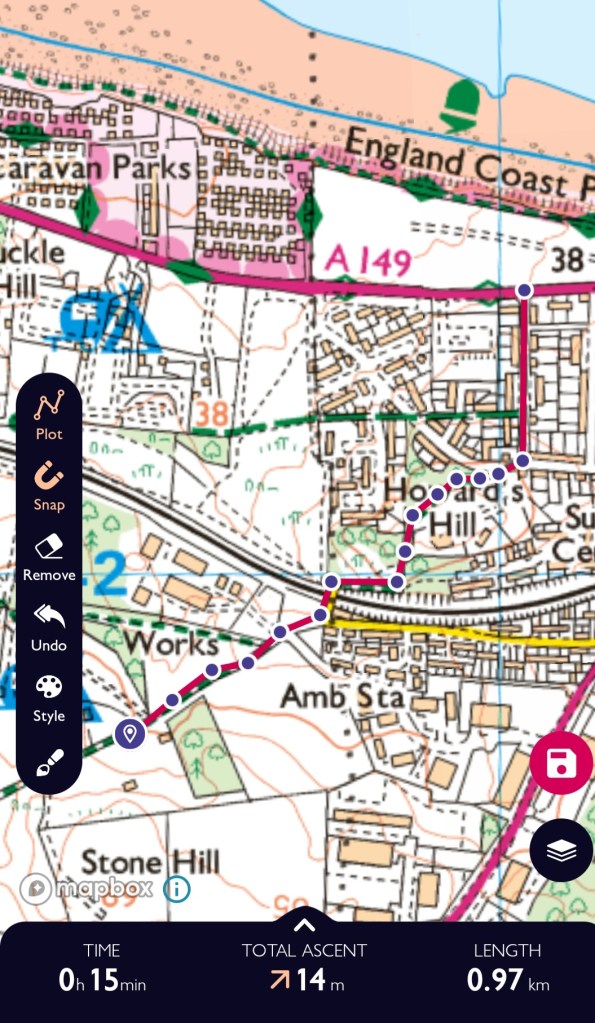
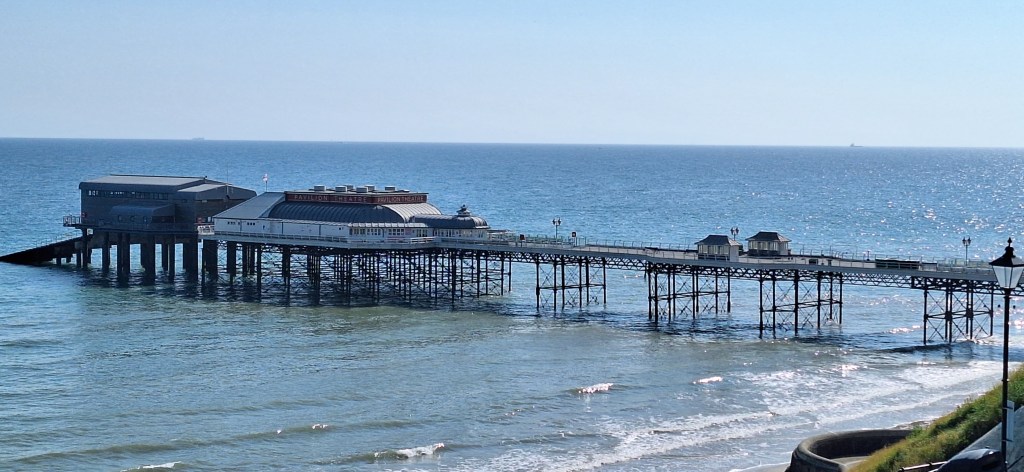
Killing time, I wandered around the seafront and little side streets.
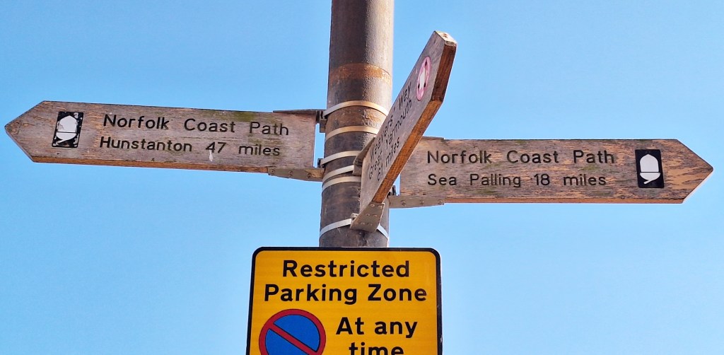
Coffee, why not grab a coffee? Then, realising time had run away from me, I headed for the station, clearly marked on the bus timetable
No buses ran from there. A local pointed me toward the bus station. Moving faster now, I saw some buses, but the driver told me no buses stopped here anymore…
What… but there are buses here… never mind… He directed me down the hill, “You need to hurry; it leaves in 5 mins”
Running down the hill now, coffee sloshing everywhere, I finally arrived at the correct place, a hot, sweaty mess.
The CH1 arrived late and headed off at quite the pace. It was quite an exciting journey, as the driver tried to make up for lost time.
Barreling along the straights, passengers groaned as the bus lurched around corners and forward and back with each abrupt brake and acceleration.
The bus was full of hikers, locals, and tourists. It was the most company and conversation I’d had in days. I was back at Blakeney bus shelter ten mins late. Stepping off, relieved, I walked back down to the seafront
There are toilets and places to eat in Blakeney, if needed, before starting your hike. It was early for a second breakfast, so I pressed on
As ever, the path starts along the sea bank north toward the sea at Blakeney Eye. Through the freshwater marshes, a Kestrel skilfully flutters above… looking for breakfast
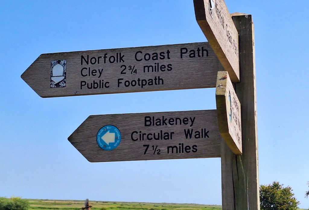
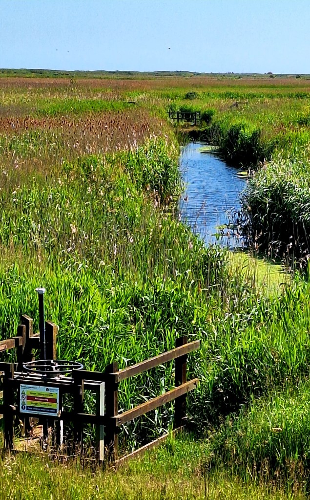
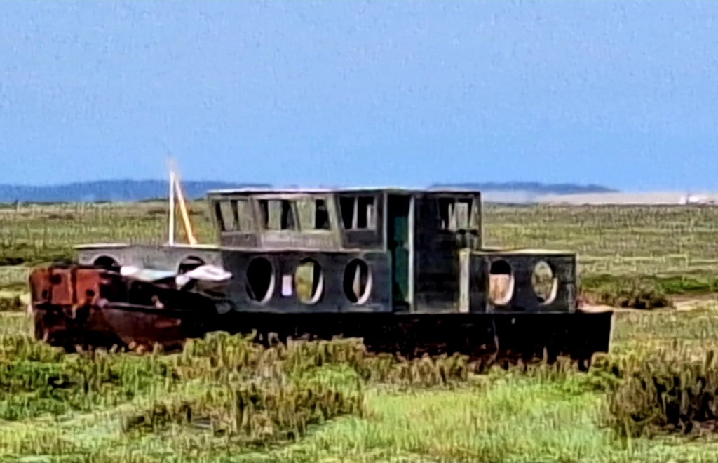
The route then snakes back inland toward Cley Windmill, then out north again. There are no shortcuts… be warned
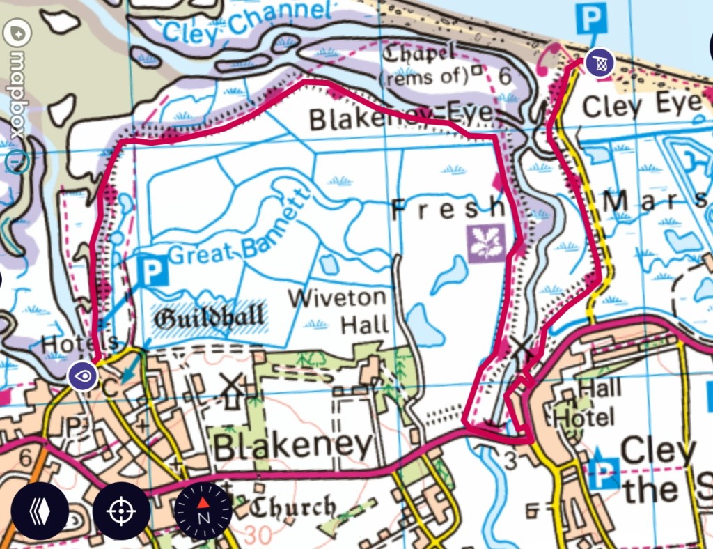
The reason is the River Glaven, 10 miles long; it flows through North Norfolk to the North Sea at Cley Next the Sea. Bridges are not possible as boats would not be able to navigate through
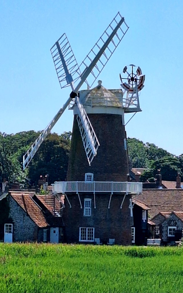
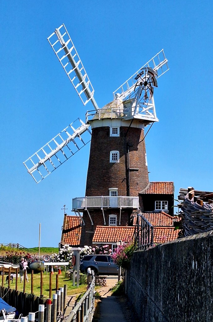
Cley Windmill is a beautiful Grade II listed tower mill that has been converted to accommodation. The path winds through tiny alleys and the grounds. So you can get really close to it
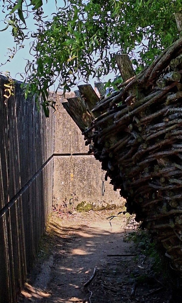
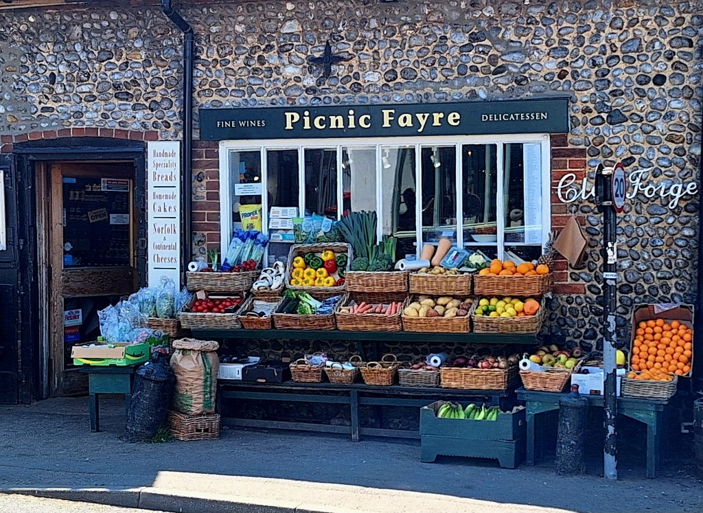
Cley (pronounced like sky) is a pretty village with rows of Georgian houses, and flint cottages, a smokehouse, and a well-stocked fruit and vegetable store
I paused to tape up a sore toe before heading out north a second time through Cley Marshes, a 176-hectare nature reserve
The course of the defence banks is curious. They form semi-circular lines that, in my view, a non-engineer would channel flood water toward the villages?
As ever, I got sucked down a rabbit hole of enquiry, and Google said, “a post-medieval sea defence bank can be seen as an earthwork and on aerial photographs. It encloses an area of reclaimed land to the north of and between Blakeney and Cley next to the sea. The bank appears on Faden’s map of 1797 and on other early 19th-century maps. Once, two banks were joined together, providing the sea defences for this area of grazing land”
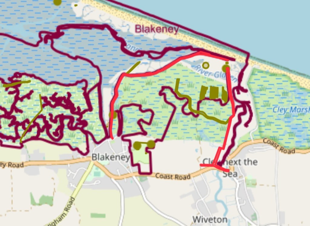
So, it appears that the banks protect the land rather than the village, interesting…
Anyway, less distraction, and more walking. Arriving in the car park at Cley Eye, I bother a knowledgeable car park attendant with my many questions.
What are the structures and houses out on the dunes? Do they get swallowed up by the tides… he patiently answered
Now out of the nature reserves, the path continues along a 4-mile shingle bank, with grazing cattle inland. Such a varied habitat. There is nothing worse on the feet than moving shingle; I remembered walking Chesil Beach
The car park attendant gave me a cursory look up and down as I headed on my way. Perhaps he thought it was too big a task for someone of my stature… hold my beer…
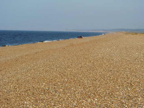
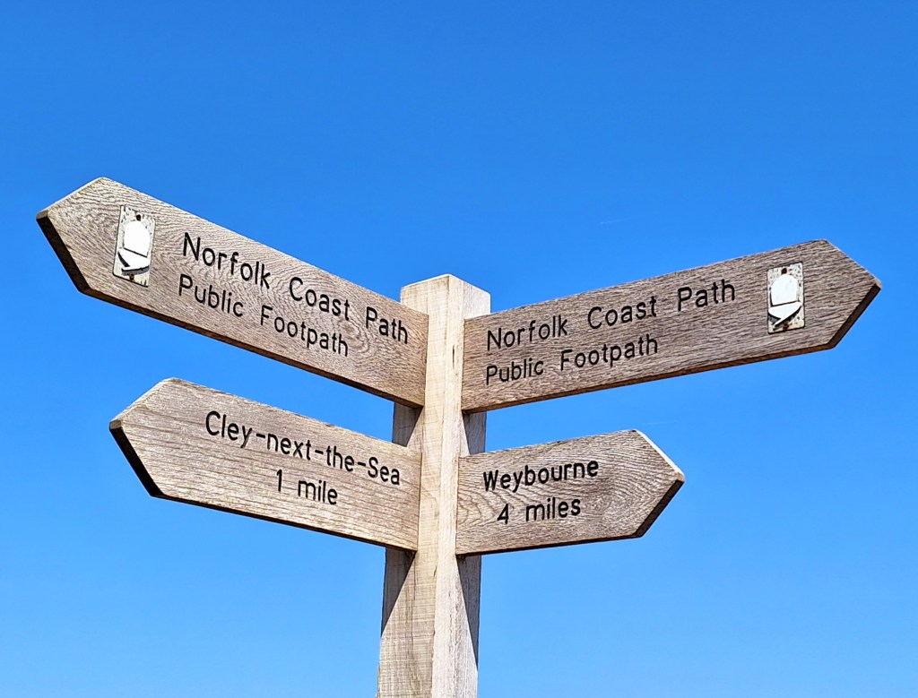
Good fortune, the tide was out; I could walk close to the tide line where the ground was harder. I watched others struggle on the high, deep bank
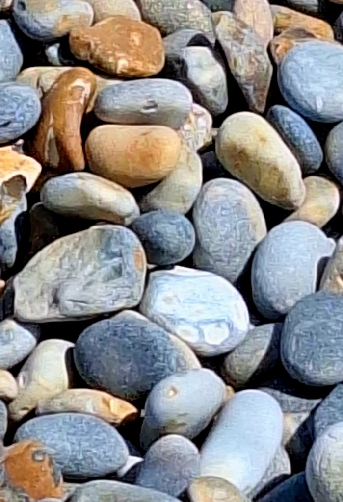
My hips complained halfway, and I looked into the distance, trying to focus on something else. The sea looked so inviting, but there were warnings of strong undercurrents
A man waved cheerily at me as he bobbed about in the waves… did he need saving?
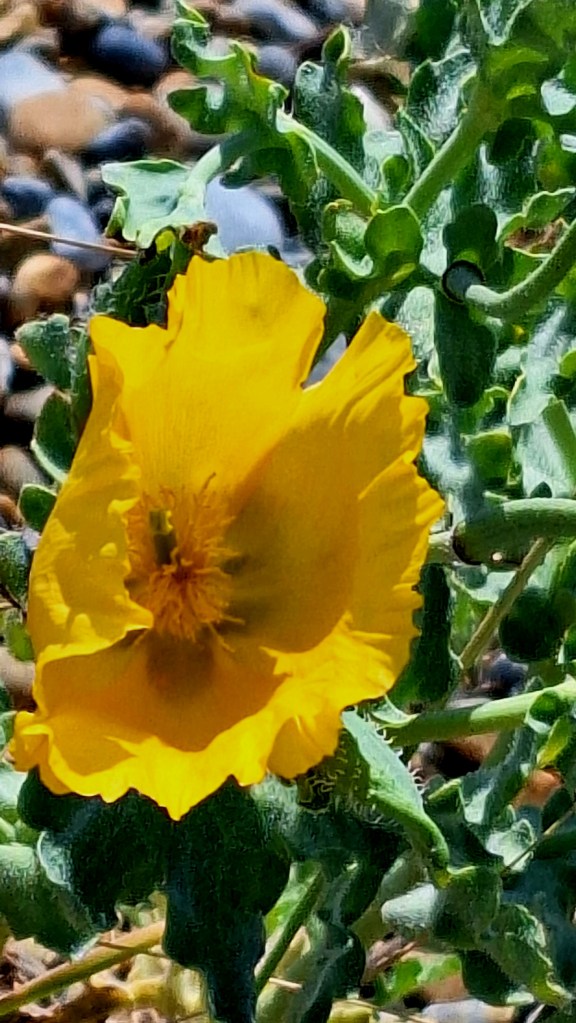
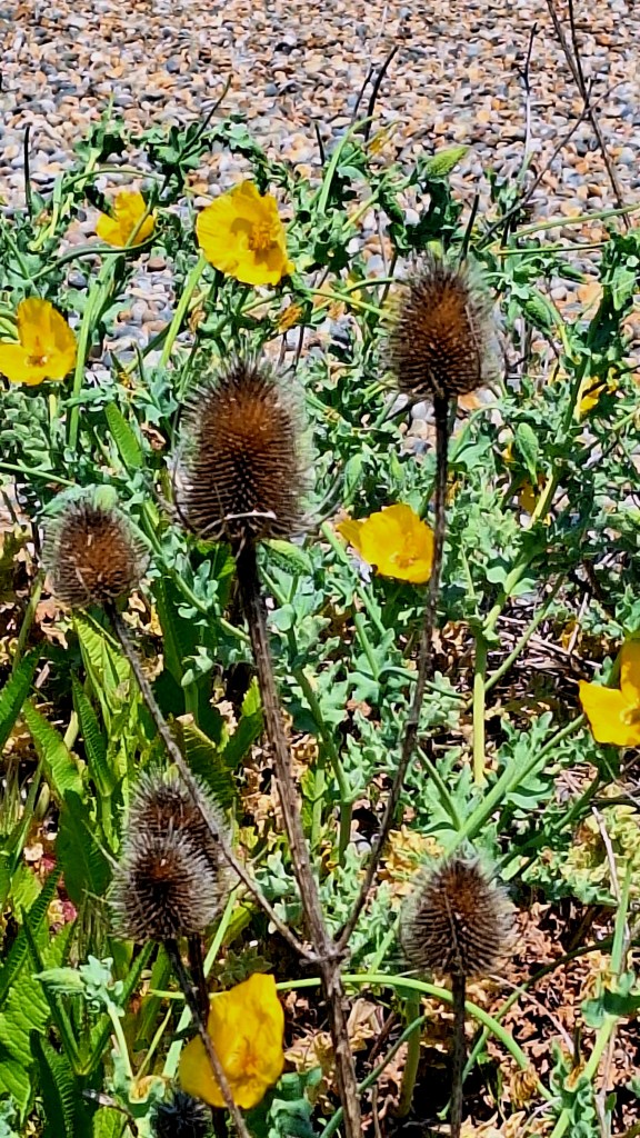
Yellow Horned Poppies and Teasel lined the banks
Finally, Weybourne came into sight, the shingle thinning into patches, then grassy cliffs, such relief
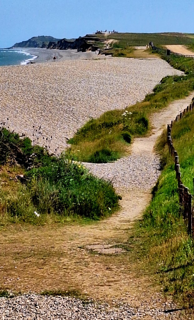
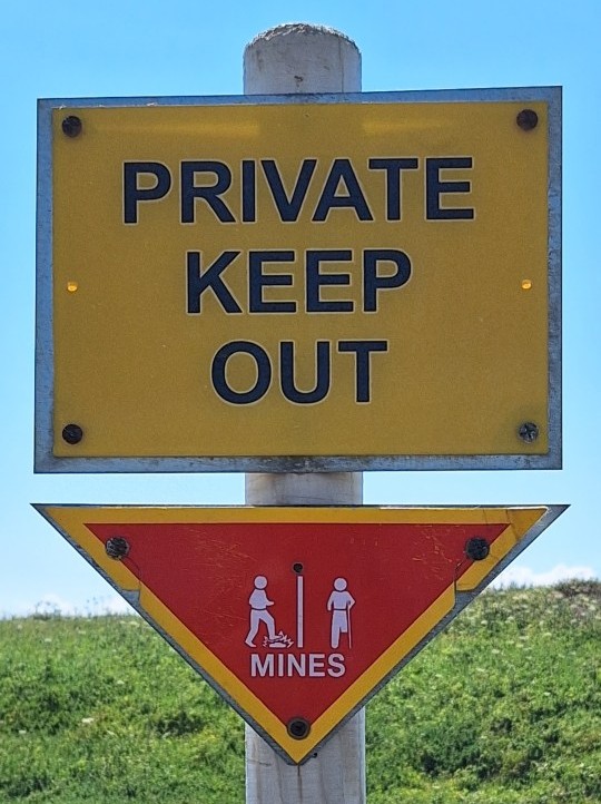
My legs felt odd on solid ground. The route continues alongside Ministry of Defence installations and follows undulating cliff paths to Sheringham
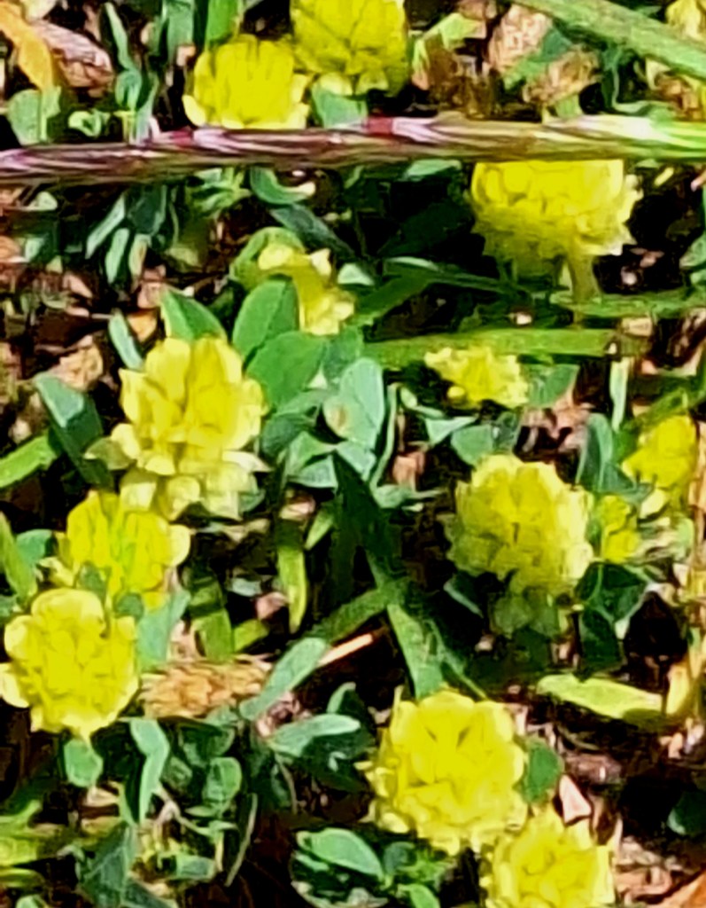
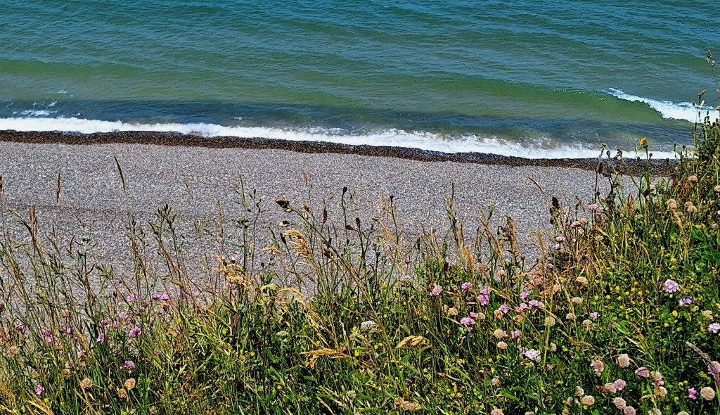
The sea cliffs, the first elevations on this route, reminded me of home. The paths lined with an abundance of wildflowers

The path gains height as it enters Sheringham Park and climbs steeply to the summit of Skelding Hill and the old coastguard station.
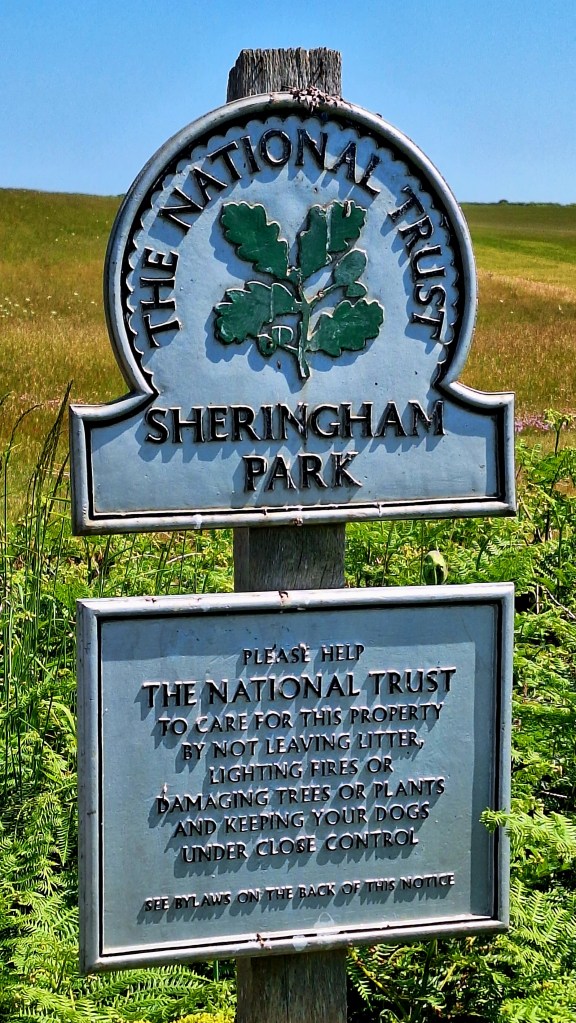
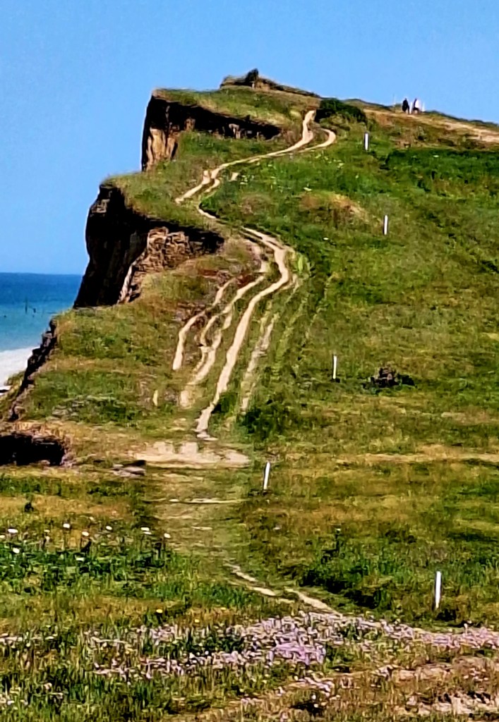
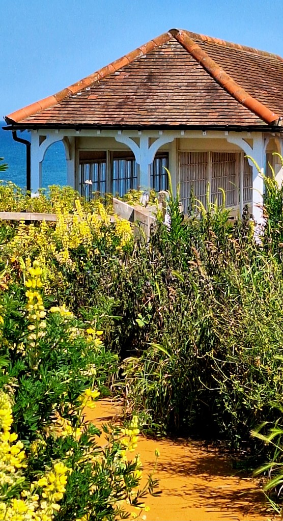
Descending toward Sheringham through paths of Sea Buckthorn to a very lovely Victorian-style shelter and boating pool to continue along the promenade
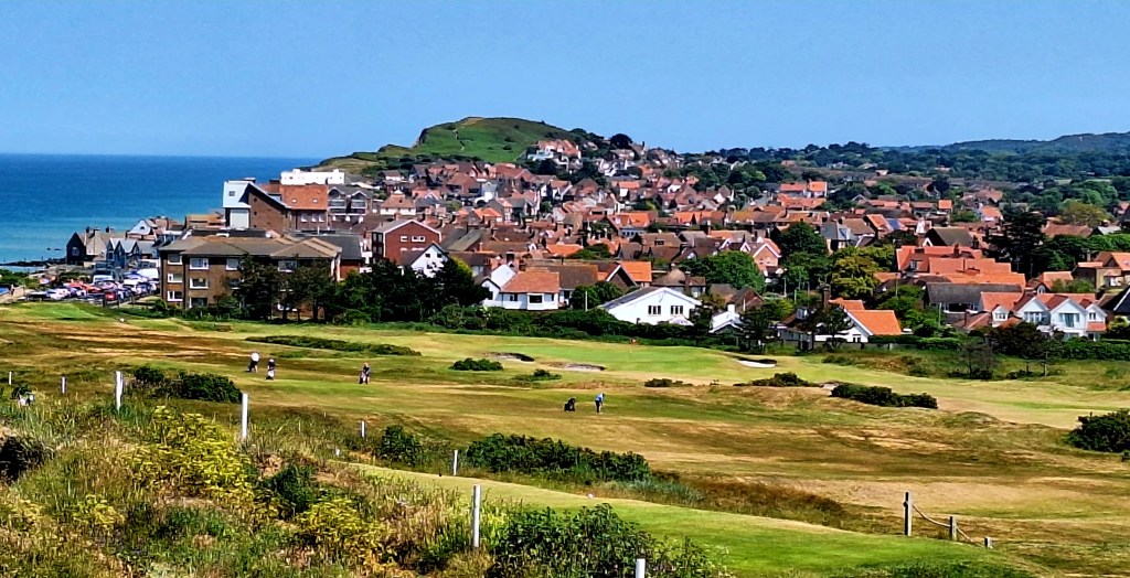
A much-needed and delayed lunch at 2.20 pm. at The Welks Coppers. Some rather delicious homemade mackerel pâté, salad, and ‘posh’ lemonade, whilst overlooking the sea.
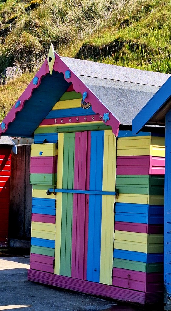
The route continued past little beach huts onto a beach running under some very precarious cliffs
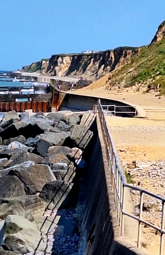
I was pretty sure this wasn’t the Coast Path. It looked most inhospitable and unsuitable for walkers. More reminiscent of an abandoned industrial area
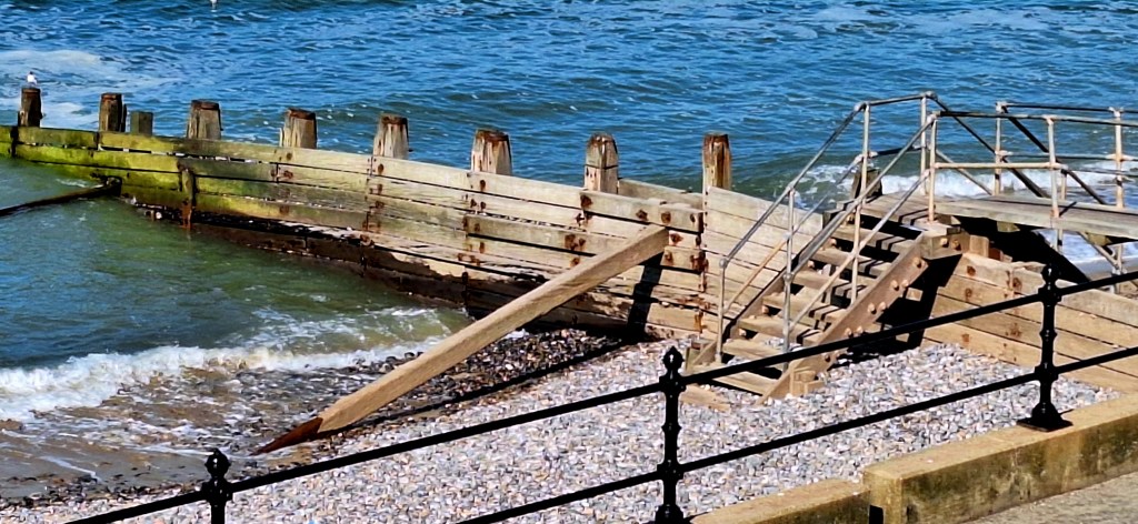
You can access the beach at low tide, but it’s comprised of large flint stones, and runs alongside the giant skeleton of a dilapidated sea defence barrier and under unstable cliffs
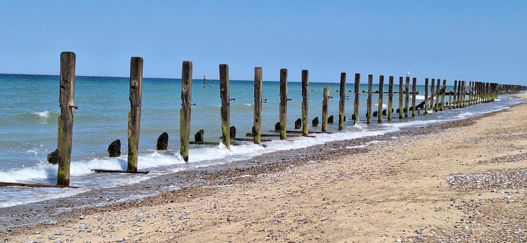
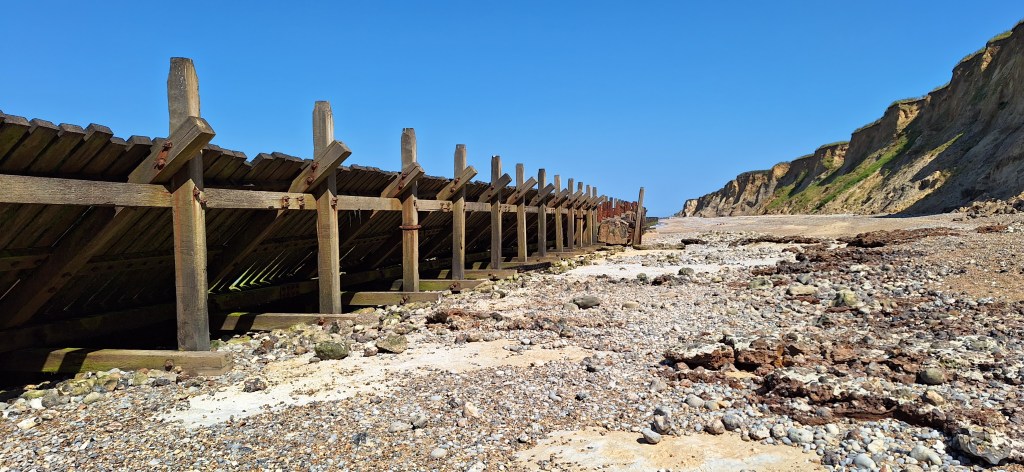
The proper Coast Path route runs up along Beeston Hill along the cliff top. Already committed, I continued along the beach to West Runton
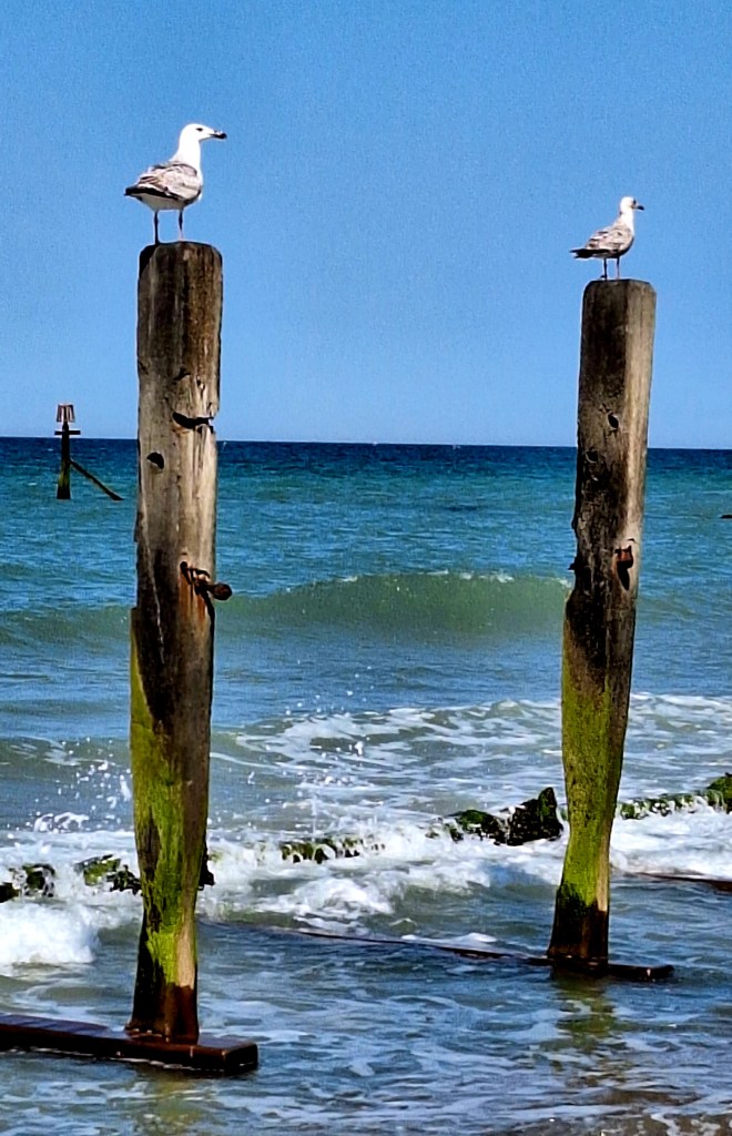
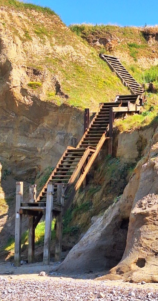
After another long tramp across difficult terrain, I popped out onto a concrete ramp at West Runton Beach. Completely unaware that I had been walking along an important and famous fossil beach where the Runton Mammoth was found
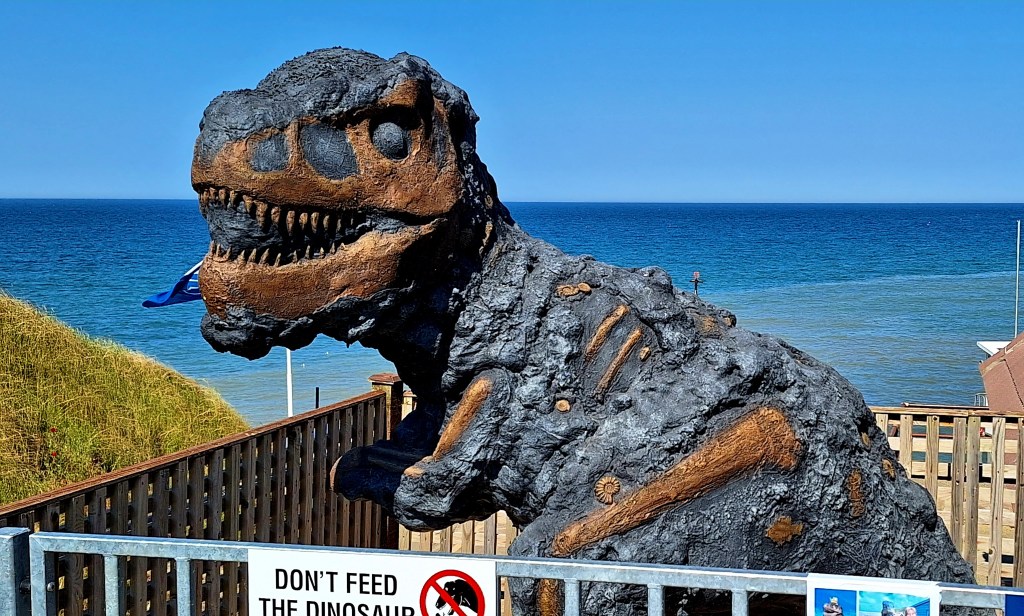
It pays to research before you go. I stopped for ice cream and more refreshing lemonade. There is a small display at the cafe with fossil finds from the beaches
Signs warned about responsible fossil hunting, as there were plenty of fossils on the beach. Unlike Lyme Regis, there was no frantic chipping away at rocks with hammers. Just relaxed sunbathers, so I continued on to Cromer.
It was rather a pedestrian end to a lovely couple of days, as the paths diverted inland to the road. Passed Caravan parks, through a car park, and down into Cromer
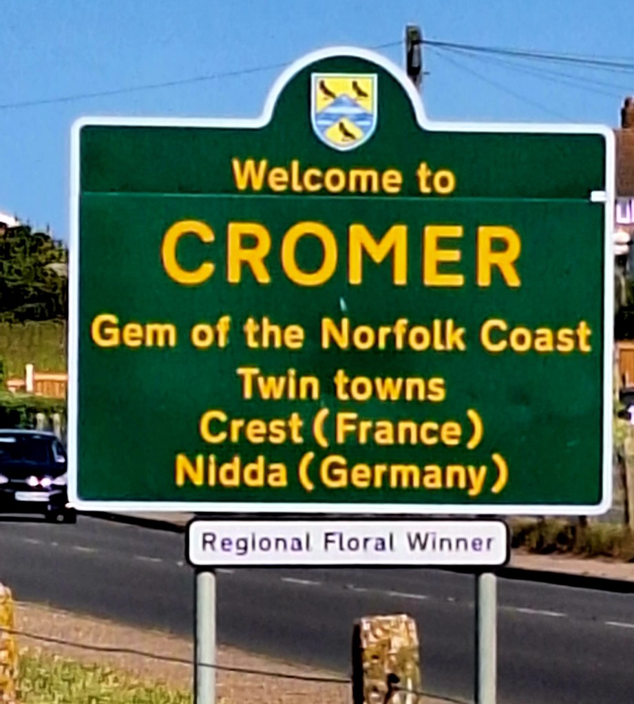
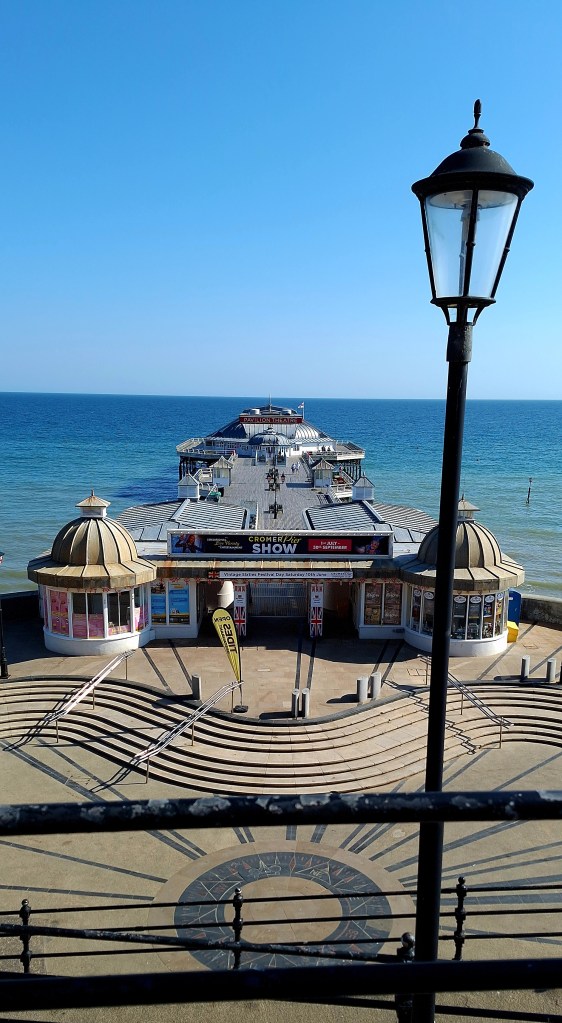
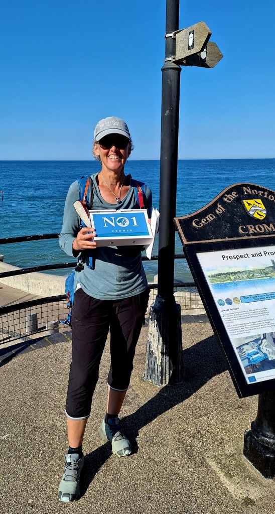
Following a rather refreshing final swim in the North Sea. I finished this epic adventure with obligatory fish and chips on the pier
My feet had had enough. After ambling back to the campsite, I promptly fell into a chip coma and woke to mist and a heavy dew on yet another sunny morning
The skylarks sang endlessly overhead as I left to start my long journey home at 7.30 am.
Reflecting back, my journey began with a dream to follow in the footsteps of ancients. This was certainly accomplished: a total of 407 miles over 26 days, from Lyme Regis to Cromer
The earlier part of the route had the greatest presence of that ancient path. The latter stages, particularly the Peddars Way, felt more like a modern endurance trail. Let’s not do that again, or at least travel smart, not hard; go by bike
The coast was amazing, something new and pretty around every turn. I’m glad I continued; I would have gone home feeling battle-worn if I had stopped at Hunstanton.
Did I find the answer to my quest? The answer, I think, like an animal in captivity, I needed to be back in the wilds. We are hunter-gatherers, after all. Some feel that urge to wander more deeply than others.
Hiking our national trails will remain a challenge until the UK catches up with Europe. Wouldn’t it be wonderful if National Trails UK worked collaboratively with landowners to provide simple accommodation en route? Bunk barns, small hostels, and camping fields. Build it, and they will come…
Around 10 pm, I crossed the border into Cornwall, after the longest, hottest journey. Seconds later, spots appeared on the windscreen, then it rained and rained. Washing the Norfolk dust off the van and cooling the air.
Winding down the window, I inhaled, ahhh, petrichor. Welcome home…
That is, thank you for travelling with me and for all your support and encouragement… until next time xx
If you want to catch up with my other stories, click on the link https://fern-weh.uk/
If you enjoy my tales, you may wish to consider buying me a Coffee.
ko-fi.com/fernweh


Leave a Reply