
Weds June 14th 2023
Day 2: Burnham Overy Staithe to Blackeney
(Approx 15.5 beautiful miles – Manor Farm Caravan & Campsite)
The bus journey to my start point would be a tricky affair today. The earliest bus was the 202 from Blakeney – Village Hall Bus Shelter at 7.58 am. It would get me to Wells The Butlands at 8.40 am
The 36 from Wells Butlands back to Burnham Overy Staithes left at 8.33 am to arrive in Burnham at 9.48 am. Dawn, I would have to wait an hour for the next bus. That meant a late start, as that bus wouldn’t reach Burnham until 11 am
Blakeney village was only 10 mins from the campsite, and I found free parking at the village hall. The bus stop was right outside
Good fortune
The 202 was a school bus, but older humans could use it too. So I waited at the bus stop looking most out of place.
More good fortune, the trail Gods sent me the nicest bus driver, probably in all the world.
He greeted each child by name as they boarded. Impressive; there were a lot of them. He then looked at me, greeted me warmly and with humour, and asked me where I was going. He listened to my dilemma and told me he would make sure I caught my connection.
8.20 am, he stopped the bus and got out. He called for me to follow. He pointed across the road to a public footpath and gave me directions to the bus stop. It will take 5 mins, he said, then off he went. What a lovely, helpful human being… it did take 5 mins, and I did catch the earlier bus
Back at Burnham Overy Staithes at 9.48 am. Picking up the trail from where I left off yesterday, and noticing a sign saying no overnight parking… whoopsie


The coast path followed the sea defence bank, past mud flats with grazing Shell Ducks and other wild fowl.
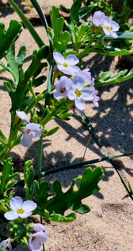
Meandering toward the sea, into the dunes and onto Holkham Beach, which is vast, beautiful, and the light never-ending

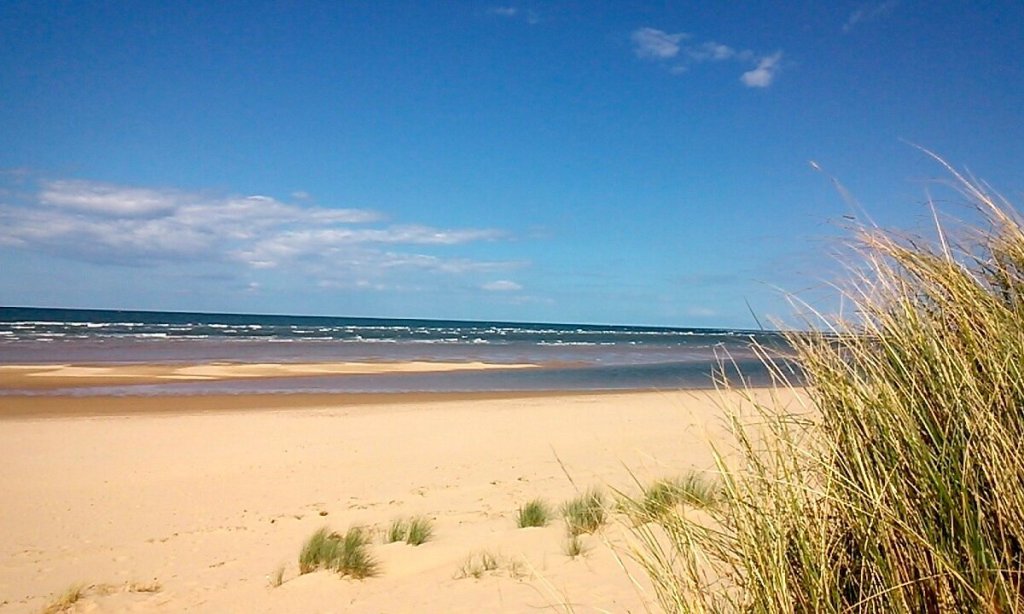
So vast, it’s also a local highway; cars were driving on it. Where were they going? Off came the shoes and socks, and my feet enjoyed the freedom of 2 miles of barefoot beach walking. The strong wind was chilly, and I zipped up my top.
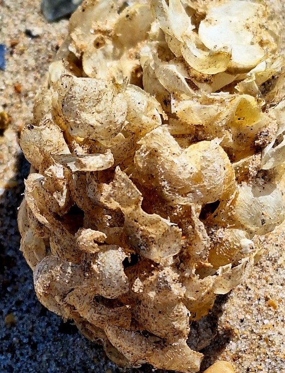
The beach is covered in numerous cream coloured balls, which I assumed were seaweed. They are the egg mass of the common whelk, often referred to as sea wash balls; they were used by early sailors as soap.
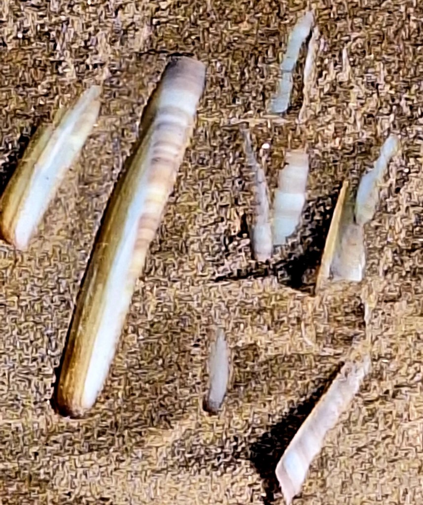
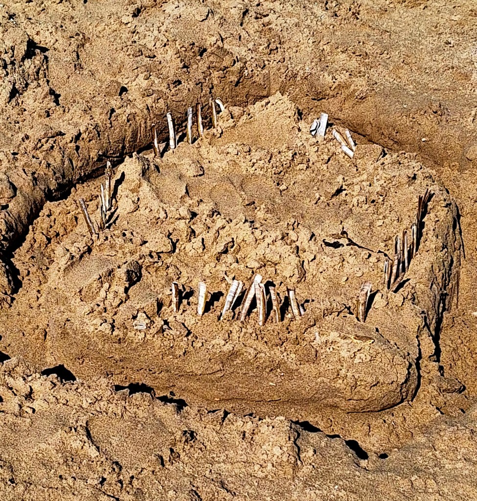
The beach is littered with razor shells. You have to tread carefully. There is also an abundance of cockle and clam shells. I resisted collecting them; I have so many. Well, maybe I’ll grab just one…
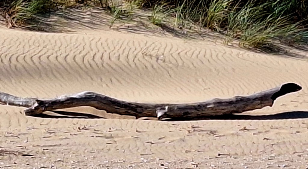
It must be bleak here in the winter. I marvelled at how the Norsemen navigated the ferocious north winds and sea to get here. Master mariners. Then they navigated the creeks to establish Holkham village
The Coast Path cuts in at Holkham Gap, a National Nature Reserve of great importance.
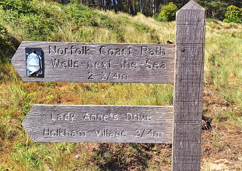
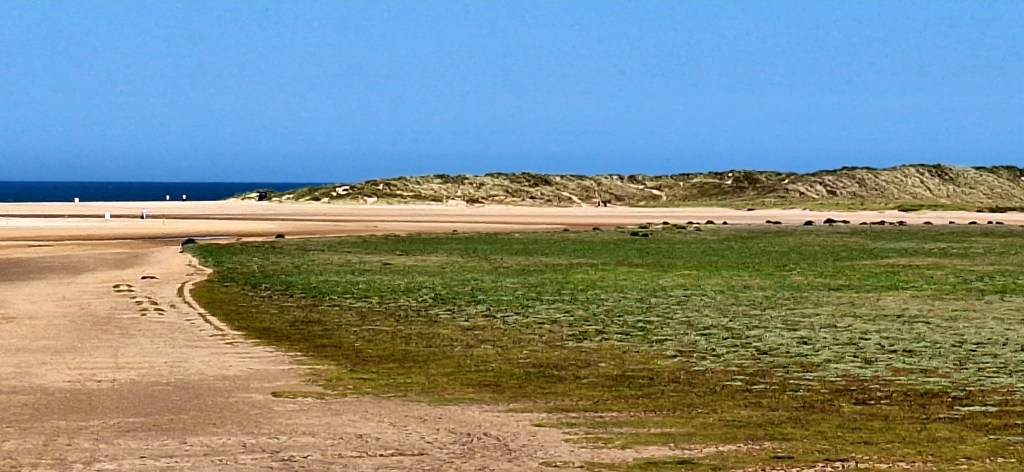
“The reserve is part of the North Norfolk Coast Site of Special Scientific Interest, and the larger area is additionally protected through Natura 2000, Special Protection Area (SPA) and Ramsar listings, and is part of both an Area of Outstanding Natural Beauty (AONB) and a World Biosphere Reserve”
Quite the pedigree
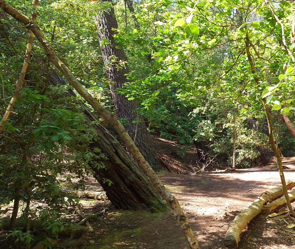
The trail continued into woodland habitat, the trees leaning at precarious angles. The North wind blew, Buzzards called, and all was quiet, but for the sound of the woodland song
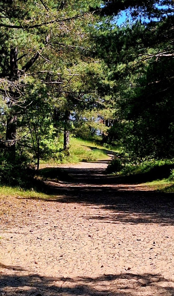
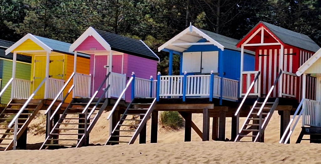
Emerging onto the boardwalk and beach huts about an hour later. This must be Wells-next-the-Sea. Just in time for elevenses, breakfast number two at the beach cafe.
The town is a mile further on, along the sea defence wall, boat masts chinking in the wind, and Black-headed gulls shrieking loudly
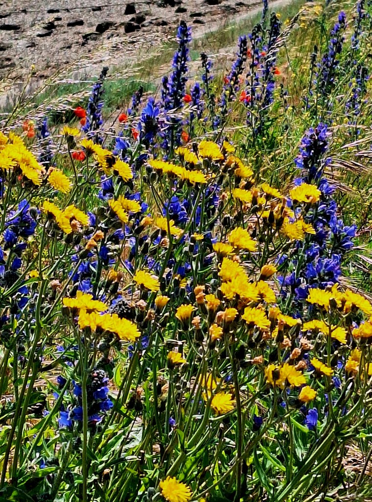
Wells-next-the-Sea has been a seaport since before the 14th century; Wells was also a malt manufacturer, with up to 12 maltings in 1750. There we go with all the barley again
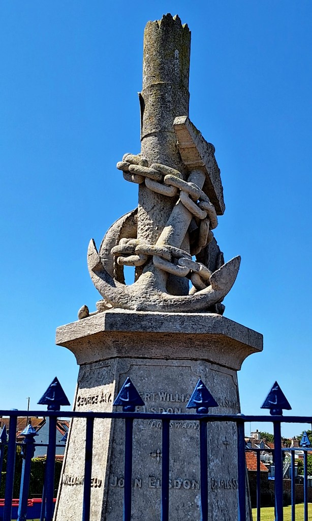
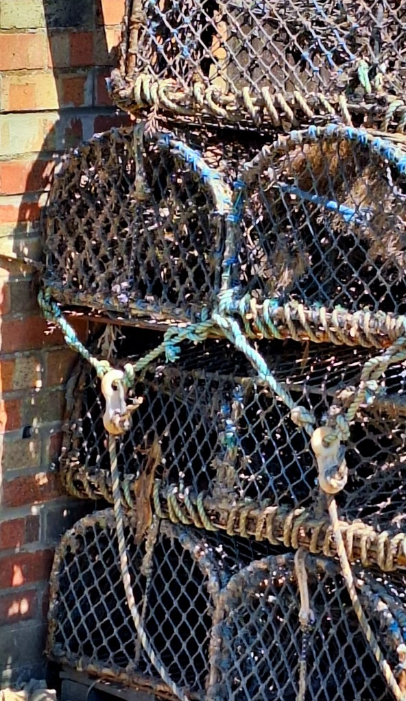
Leaving the bustling little harbour behind, I didn’t stay to explore. The route continued through paths of freshly cut hay to the next village, Stiffkey
Here, I took a little diversion to the Red Lion Inn, which went right past High Sand Creek Campsite.
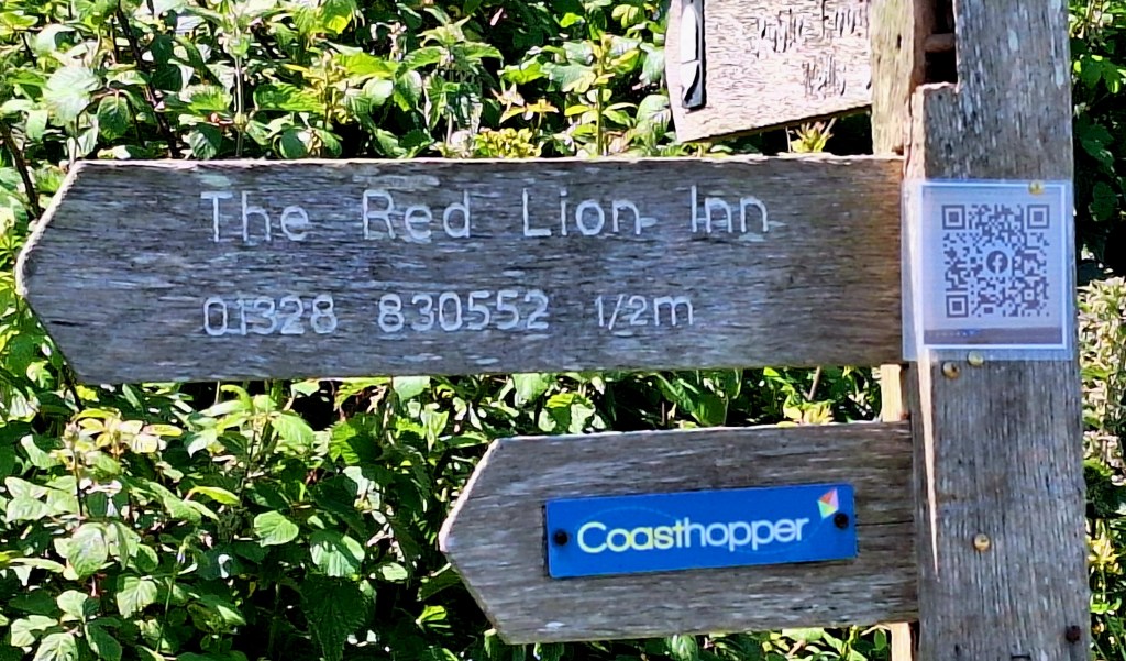
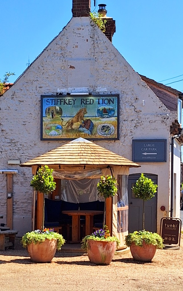
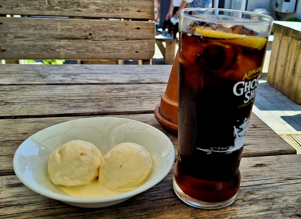
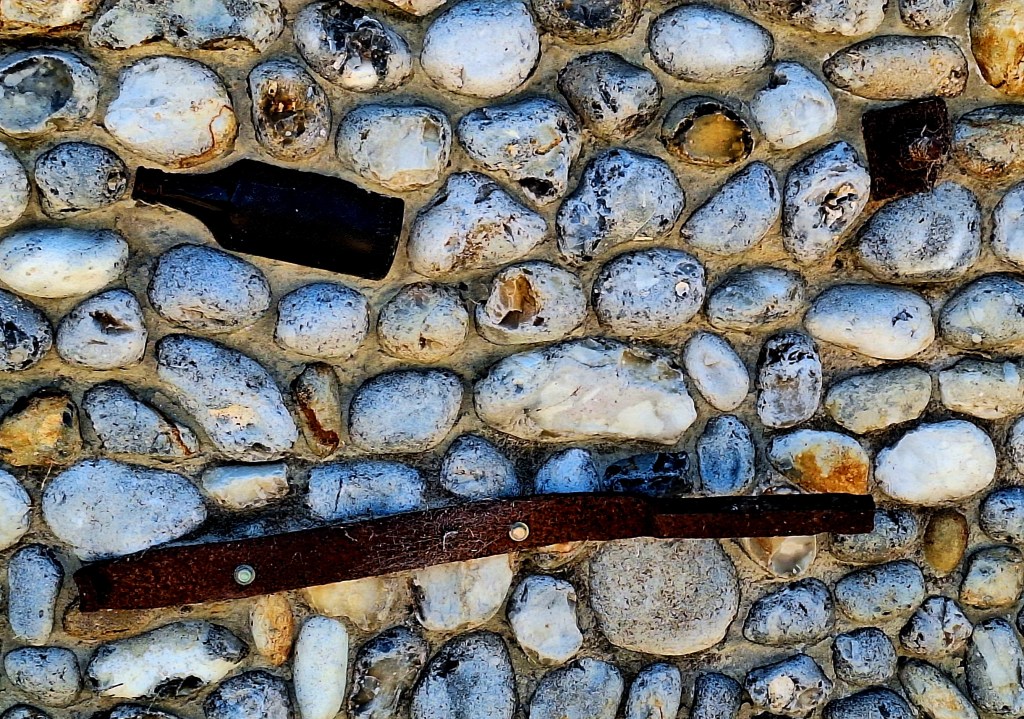
After refreshments, a public footpath diverted me back onto the Stiffkey Saltmarshes, one of the country’s richest areas in wildlife.
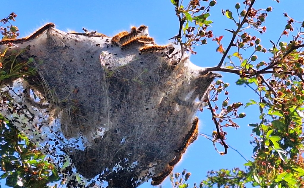
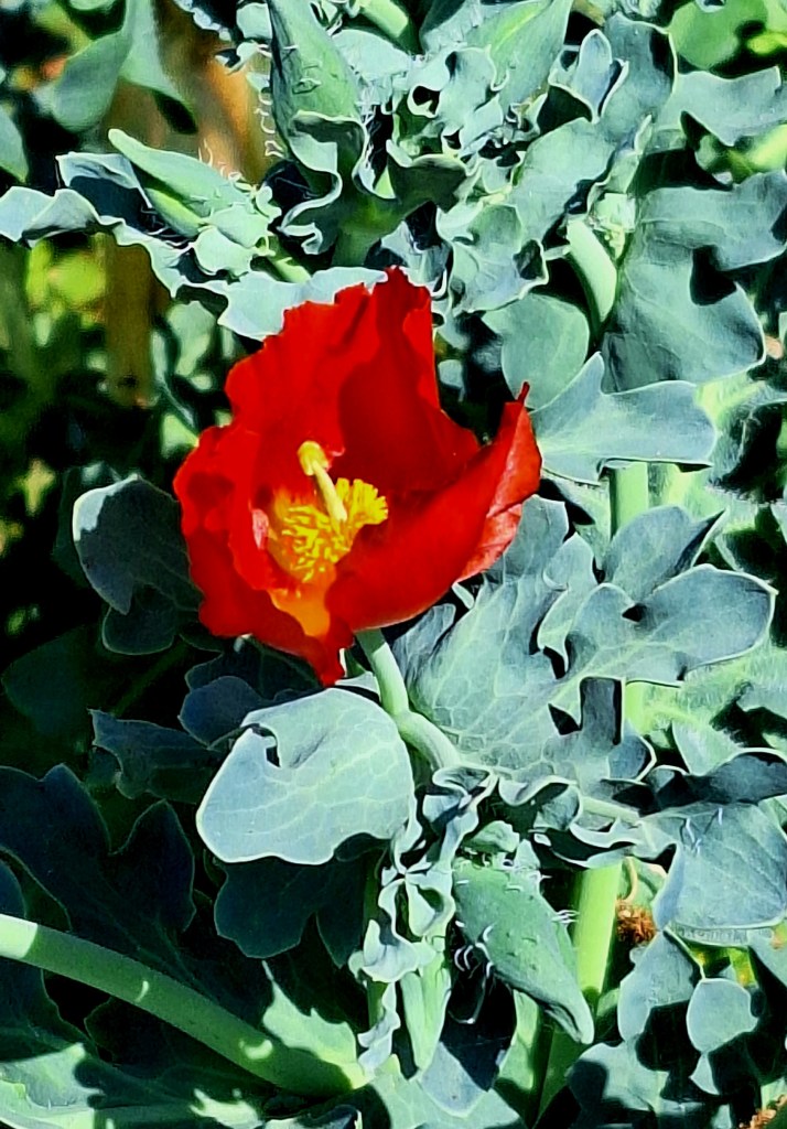
Salt marshes to the left, meadow and poppy fields to the right. I pass huge Ermine Moth nests. The caterpillars are getting bigger…
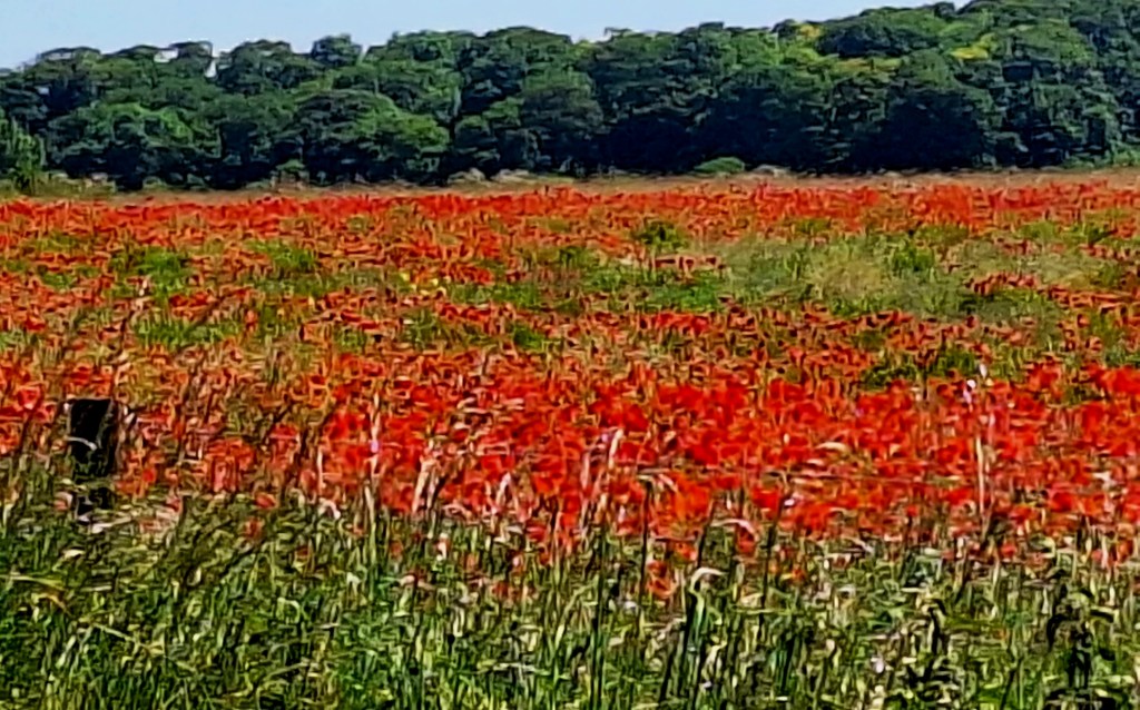
Stiffkey Fen, further along, was returned to its natural state from farmland by Lord Buxton, with the support of the Environment Agency. It improved the wetland by slowing the water flow through the fen.
Other exciting news: I ‘may’ have seen Marsh Harriers. Several breeding pairs are known to this area.
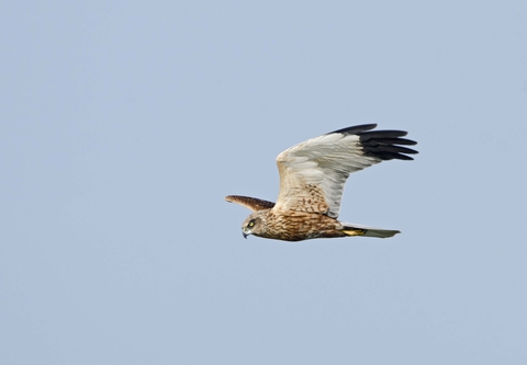
I thought I saw a pair yesterday, but I couldn’t be sure. Flying low over the marshes, being mobbed by other birds. It looked like they were flushing prey out of the reedbeds. Chocolate brown feathers and too agile for a buzzard
Then again today, one flashed over the reedbeds. I clearly saw its long grey wings with black tips before it landed…
The last stop before my end stage today is Morston Quay, part of Blakeney National Nature Reserve.
Boat trips run from here to see the seals and terns on Blakeney Point. I’m not sure I approve of seal bothering. Blakeney Point is home to England’s largest Grey Seal colony
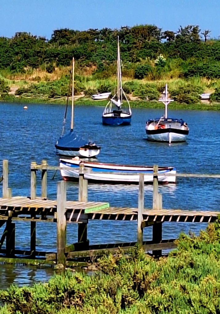
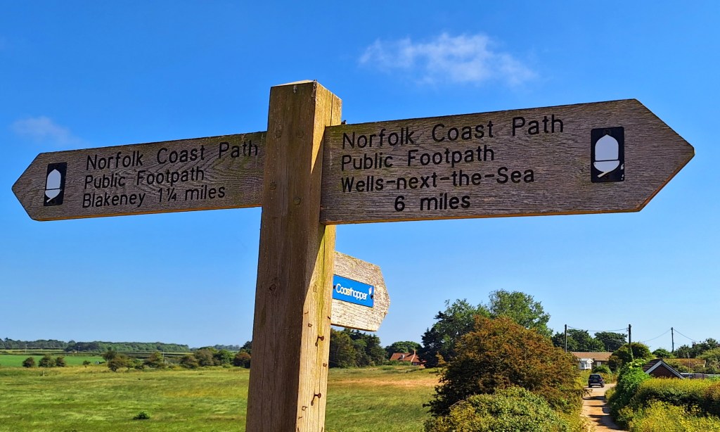
Another couple of miles along the sea defences to Blackeney, where I step off trail for today.
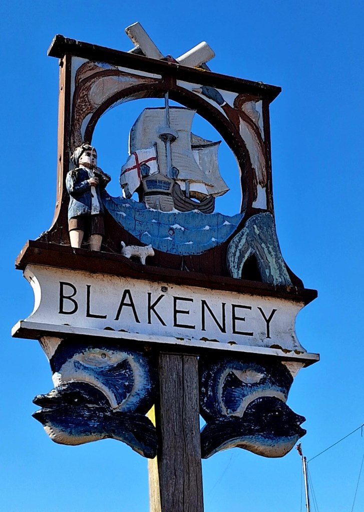
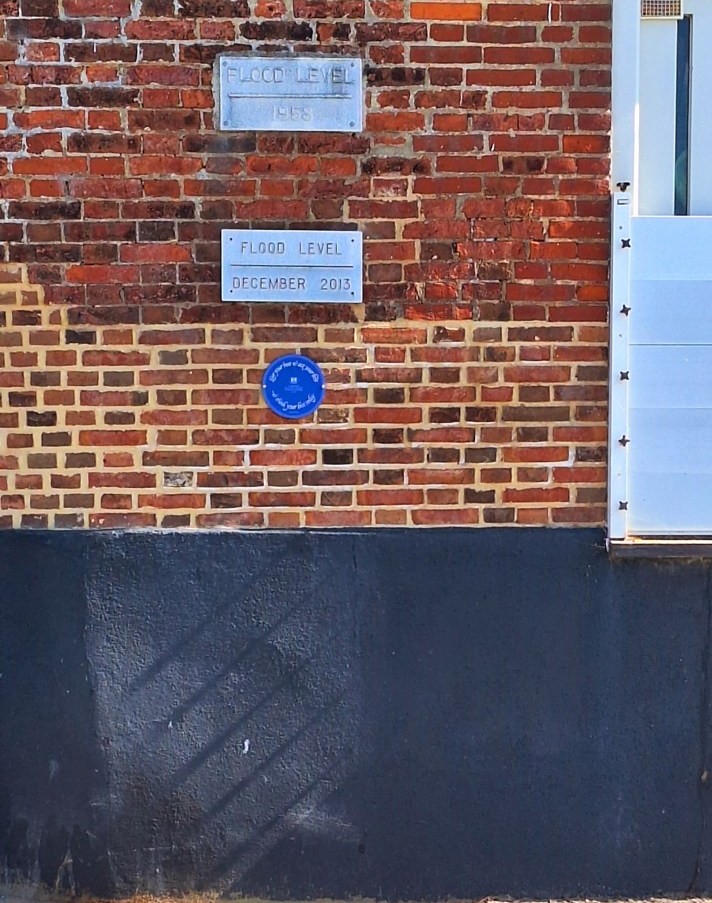
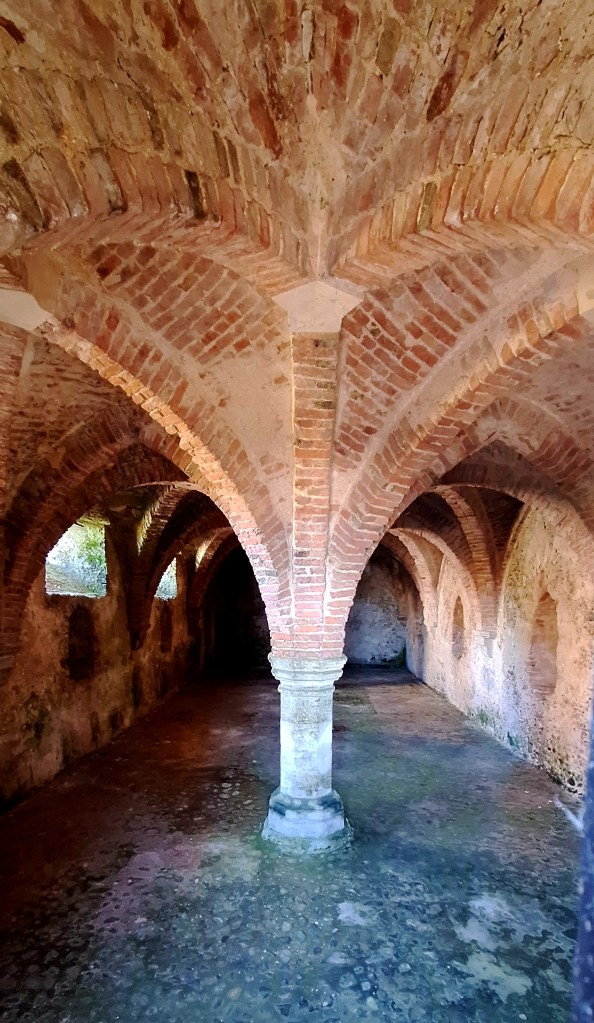
A walk up through the pretty little village takes me past the Guildhall. A small English Heritage property, the remains of the house of a prosperous Blakeney merchant, with a fine 15th-century brick-vaulted undercroft.
I have booked two nights on a nearby campsite at East Runton. Tomorrow is my last day walking, and it will provide a nice base.
If you enjoy my tales, you may wish to consider buying me a Coffee.
ko-fi.com/fernweh


Leave a Reply