
Tuesday, June 13th 2023
Day 1: Holme to Burnham Overy Staithe
(Approx 14.5 beautiful miles – High Sand Creek Campsite)
After picking up the van and stocking up on provisions, I drove to Burnham Overy Staithe on the coast.
Having walked the Peddars Way from Knettishal Heath, as part of The Greater Ridgeway. My plan is to continue along the coast
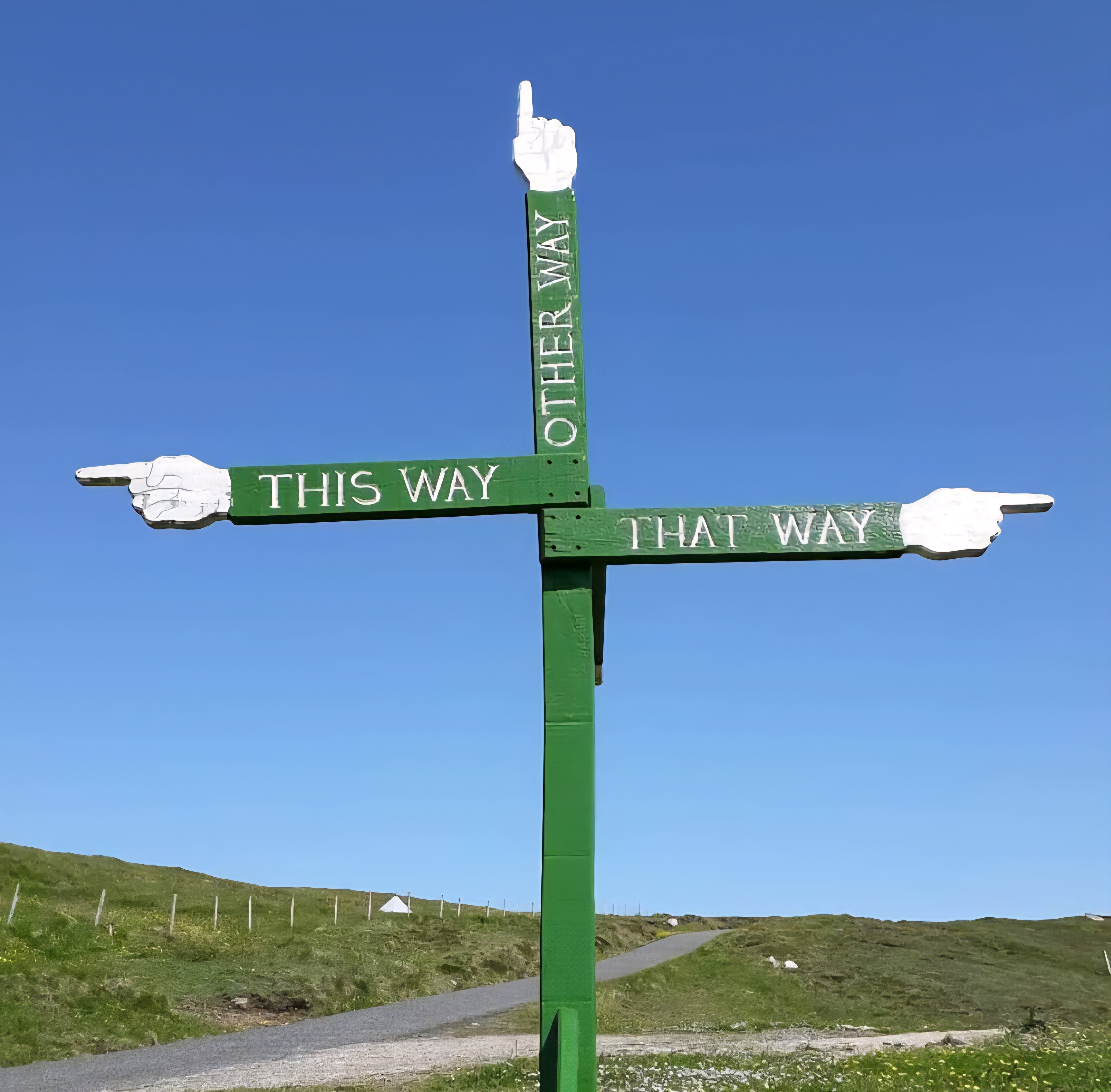
Although separate routes, one ancient and the other a modern creation. OS maps record them as a combined route. I do not know why, hence the title of this blog
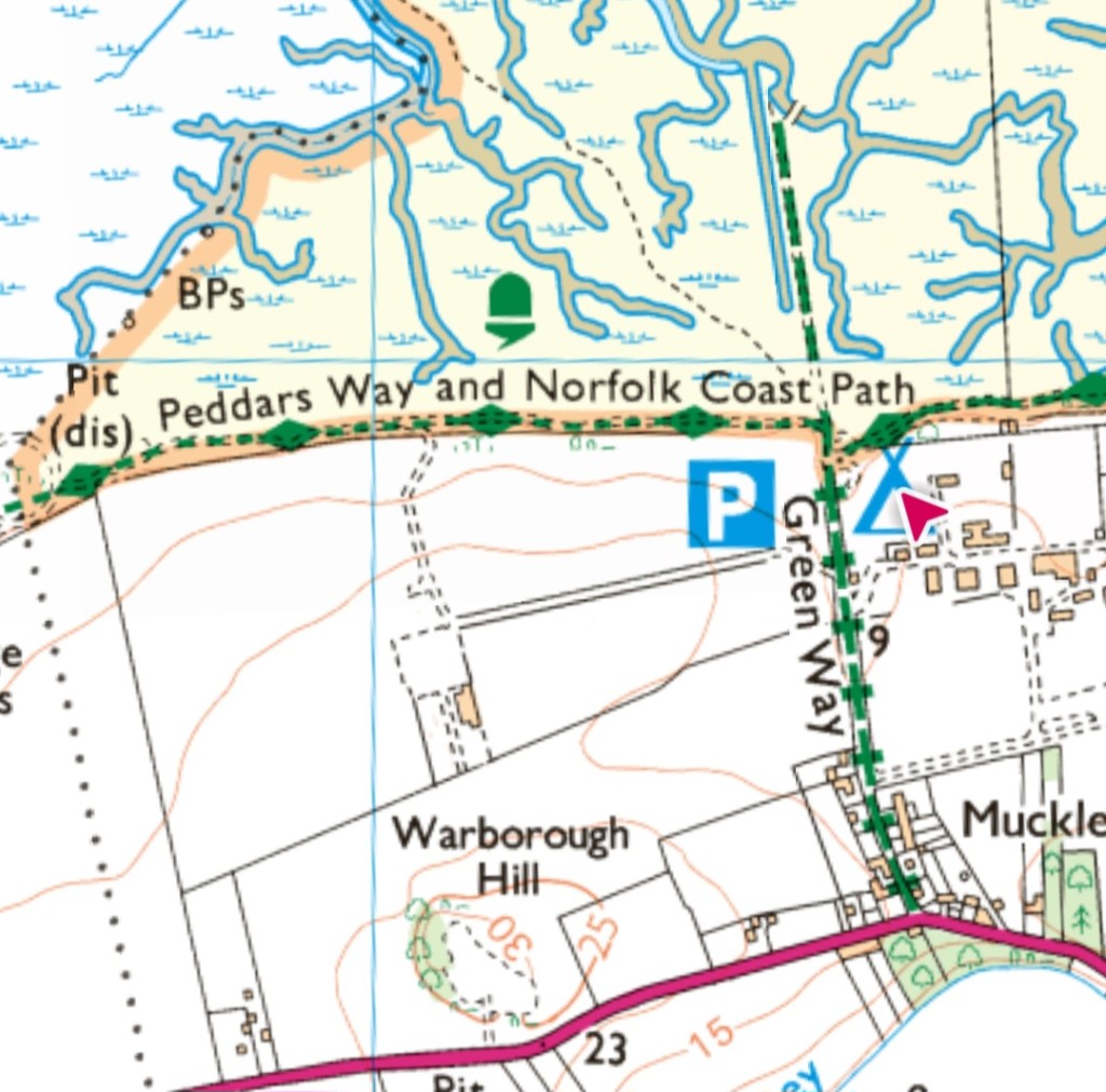
The plan was to walk as far as Cromer, the original end stage of the Norfolk Coast Path. I’d factored in 3 days to do this. However, the path has been extended to Hopton on the Sea.
Sadly, I don’t have time to enjoy it all. Good excuse to come back
It felt weird to drive again. The beast was a little noisy after being abandoned for so long. But it wasn’t long before she was purring like a kitten
There is an unofficial parking spot on the waterfront at Burnham Overy Staithes. No charges, so I camped up for the night. It was nice to be back by the ocean and to hear familiar calls of sea birds
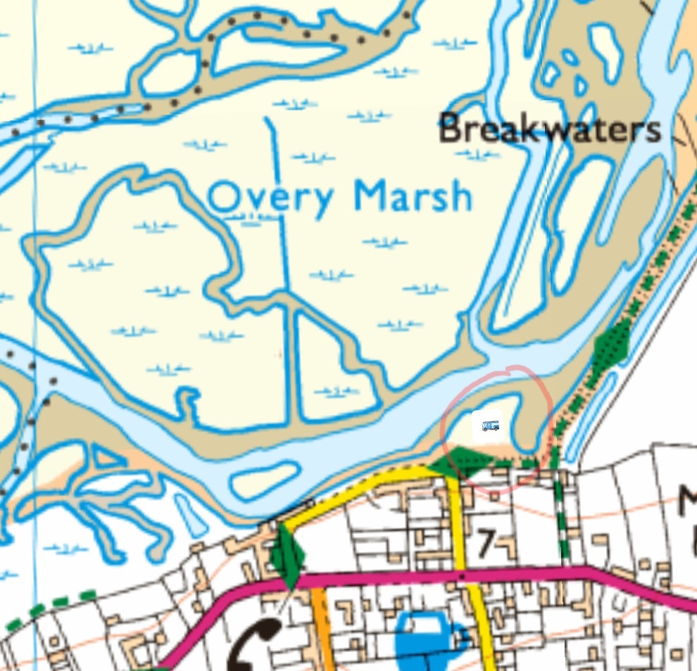
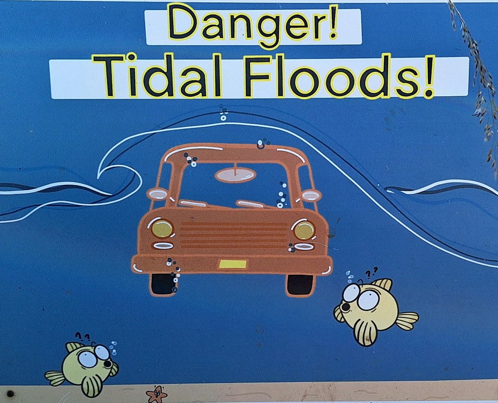
I made sure to park well back; signs warned of the risk of flooding.
My hips complained in the night, after the Roman Road from hell, even after codeine. Despite this, I slept well and woke to a beautiful sunrise
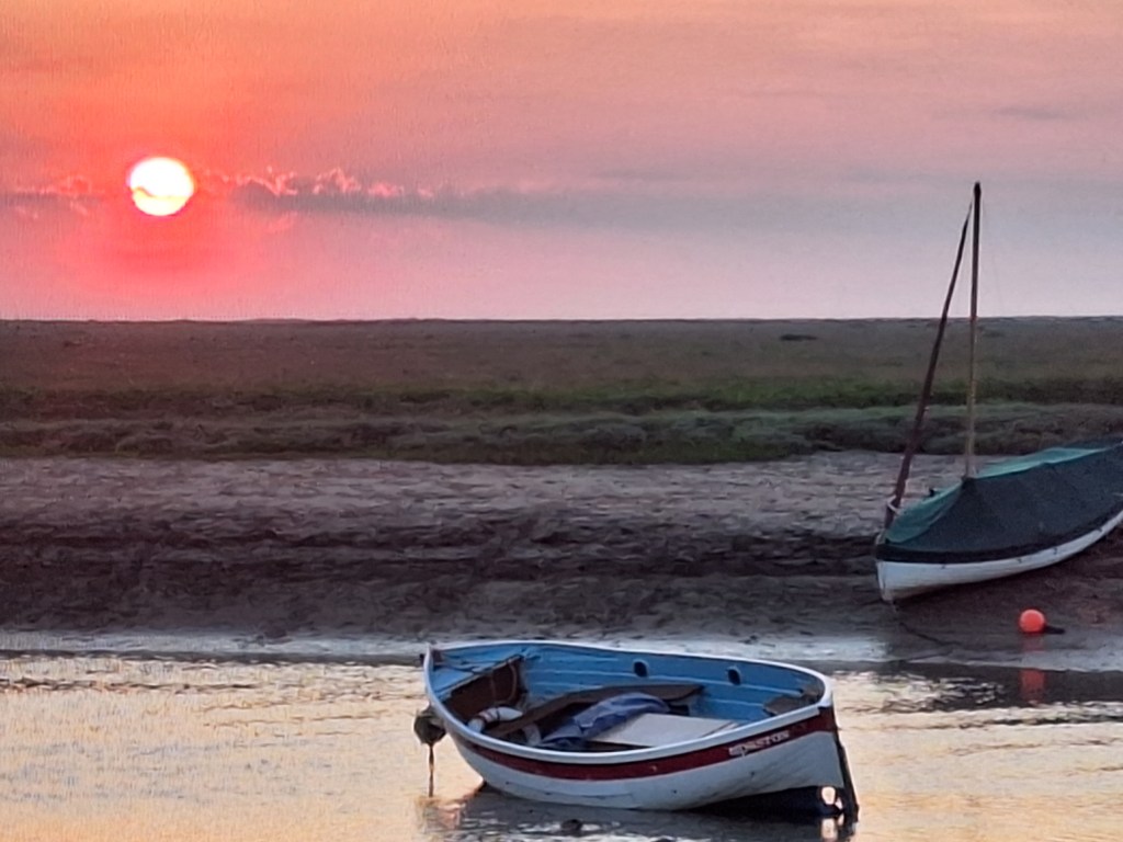
My plan was to catch the Coastliner 36, back to Holme, and walk back to the van. I walked to Hunstanton last night, so 2.5 miles already done
The bus dropped me at the crossroads in Holme, and I retraced some of Peddars Way back to the beach. There was no sign of the heat wave abating. But a cool coastal wind blew, and it was wonderful to be back ‘travelling light’. Summer hiking shoes and a light day pack
The Coast Path starts on the beach after walking through a section of a golf course. Onto boardwalks and dunes, past salt marshes, and tidal creeks.
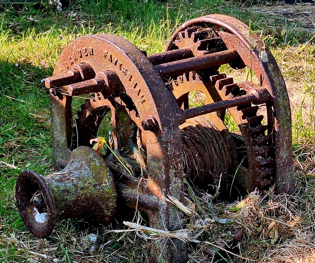
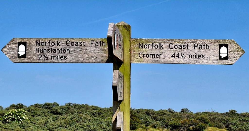
A vast nature reserve lies on one side. And the vast North Sea on the other. It wasn’t hard to imagine Northmen arriving in long ships and navigating their way up the creeks.
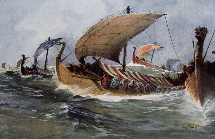
From the Anglo-Saxon Chronicle: “and the same year came a large heathen army into England, and fixed their winter-quarters in East-Anglia, where they were soon horsed; and the inhabitants made peace with them.”
Then they rampaged across England, making a nuisance of themselves. But they weren’t all bad; they traded across the North Sea.
Ask not what the Romans did for us. What did the Vikings bring us? The Domesday Book mentions Norfolk as Nordfolc. Some have speculated that the name derives from the words ‘Norse’ and ‘Folk’.
Thirteen villages ending with ‘by’ – meaning ‘settlement of’. Hemsby, Scratby, Billockby, Filby, Mautby and Thrigby. Evidence that the Norse language heavily influenced this area. And don’t forget Norwic (Norwich) and the numerous Norman Churches and Castles; hoorah for the Vikings.
The history of Norfolk prior to this is long, convoluted, but very interesting- you can read about it here
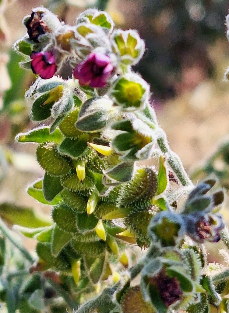
Anyway, after the horrors of yesterday, there was not a barley field, Roman road, pig farm or bike in sight. Following the boardwalk as it meandered through the dunes, you pass ‘Common Sea Lavender marshes’ and shingle bars. They are an important natural protection from flooding and for roosting and migrating birds
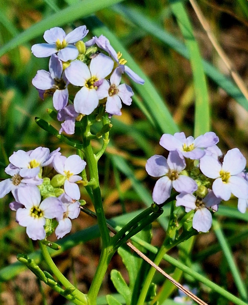
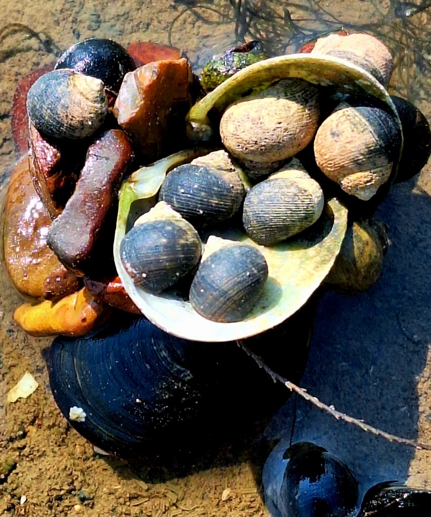
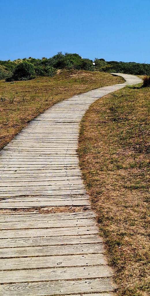
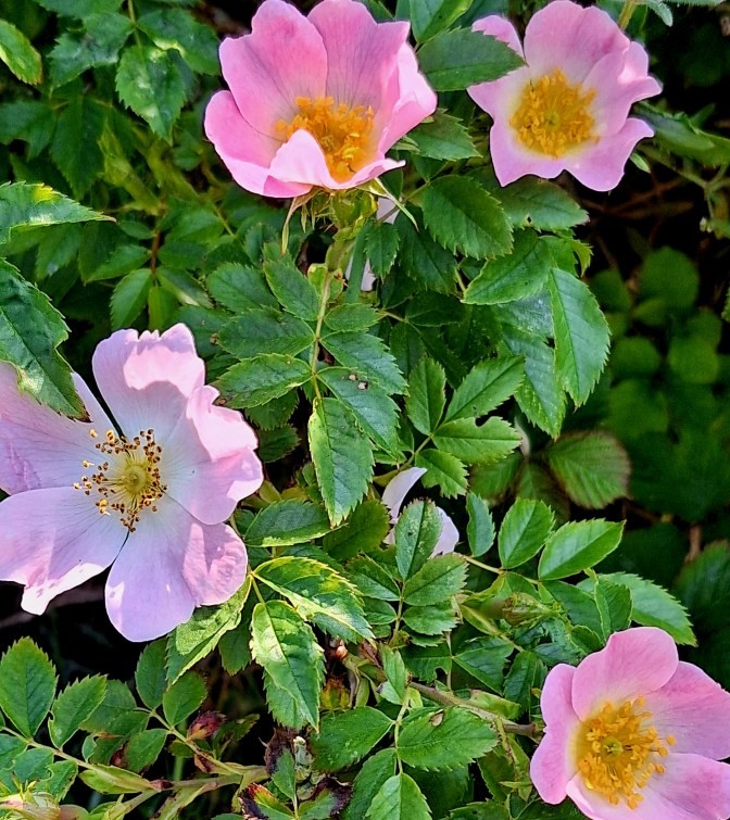
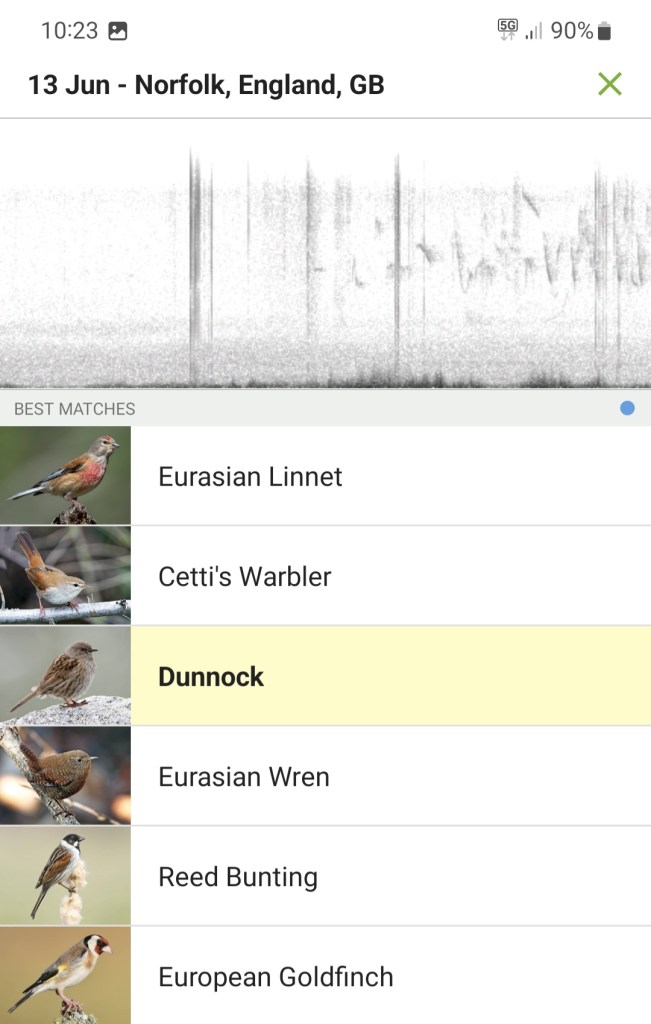
The air was filled with song. I paused often, on the plentiful benches, to listen and identify the hosts. I am now very learned
Information boards show the site of the Sea Henge. Excavated and preserved in King’s Lynn Museum.
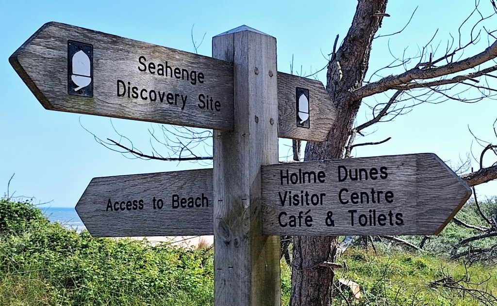
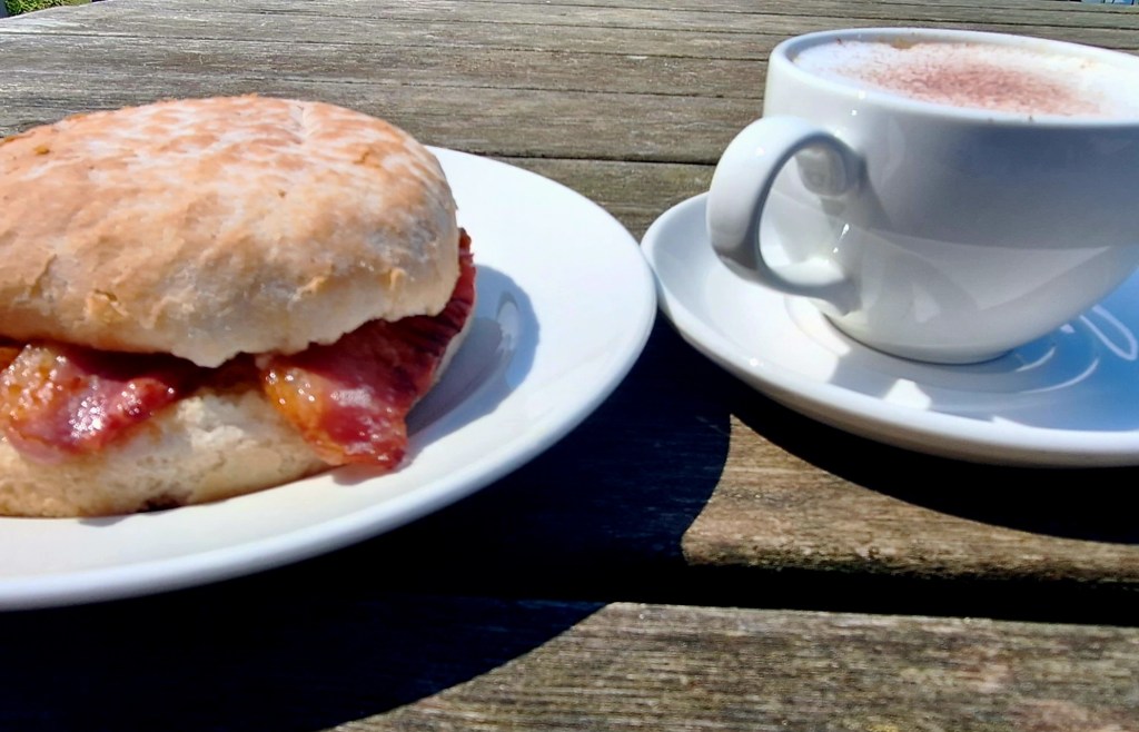
I enjoyed a second breakfast at the Norfolk Wildlife Trust Visitor Centre. Neatly tucked away in a stand of Corsican pines. Twitchers everywhere and bird hides for a fee.
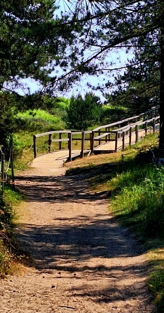
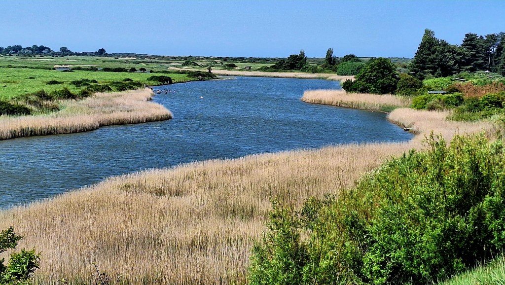
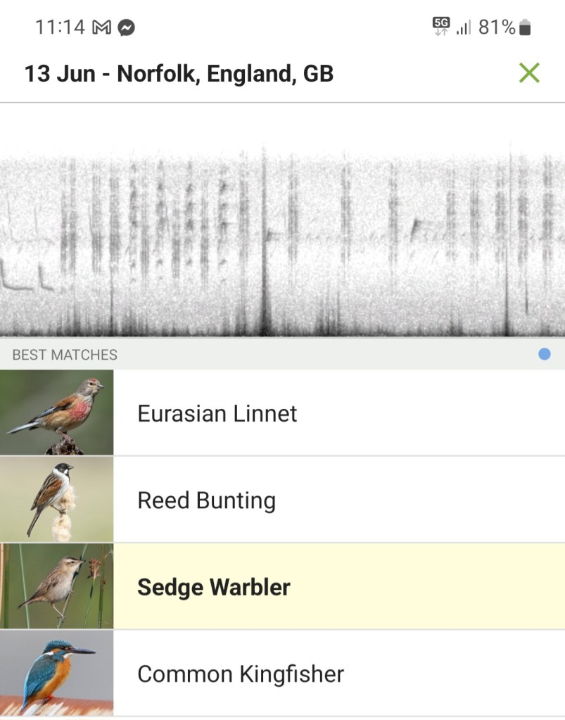
The path heads inland around Broad Water, past Ragged Marsh, to follow the Sea defence bank to Thornham.
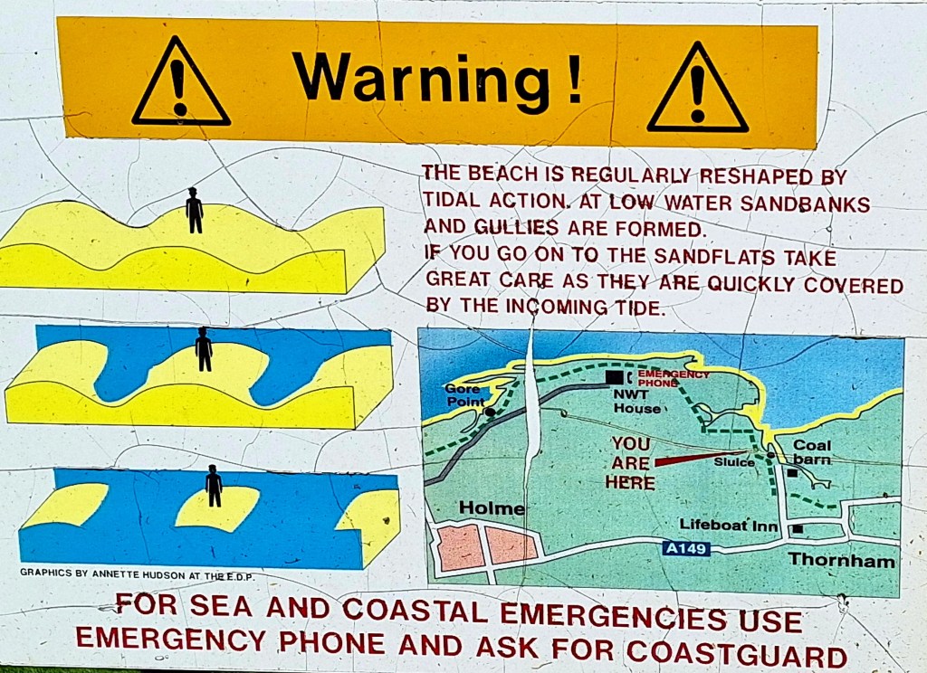
The village’s name means ‘Thorn-tree homestead/village’
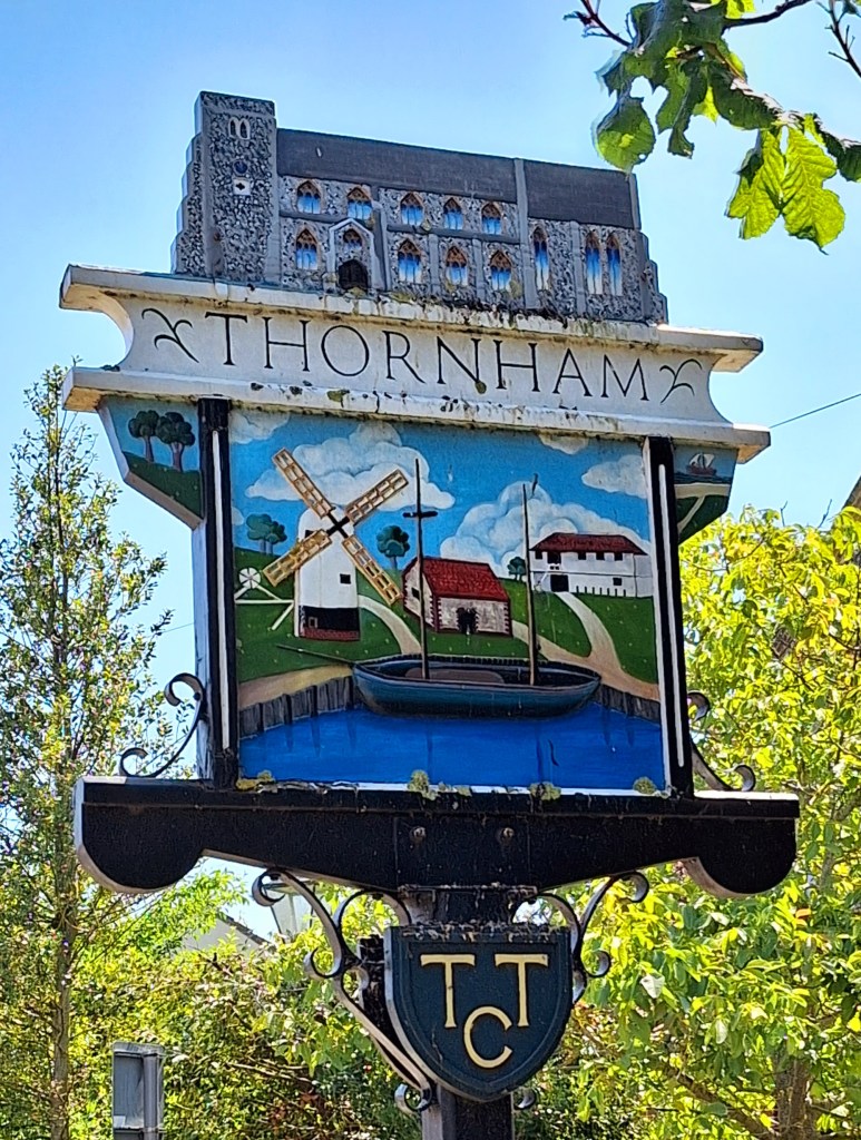
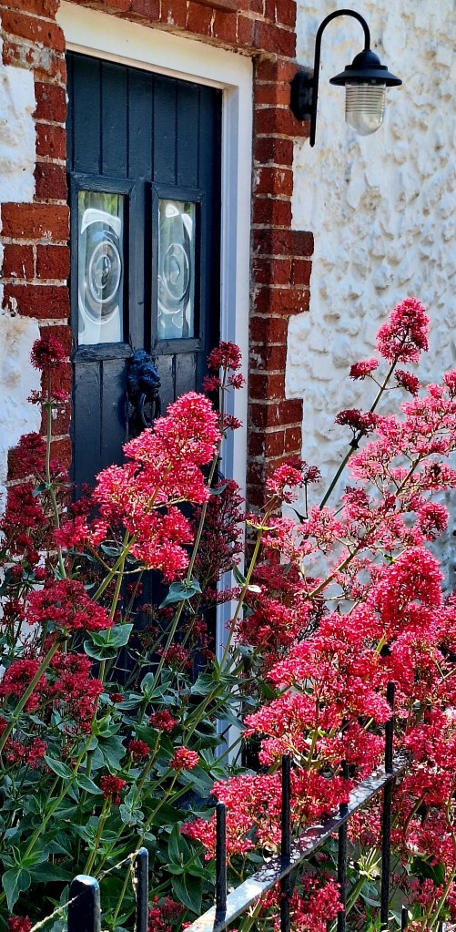
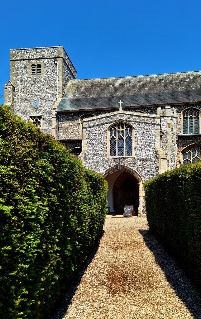
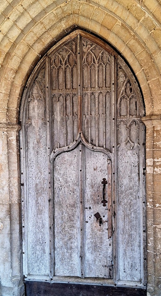
All Saints, a beautiful grade 1 listed church with a magical door, caught my eye. I entered to find a wall mural and 15th-century carved bench ends
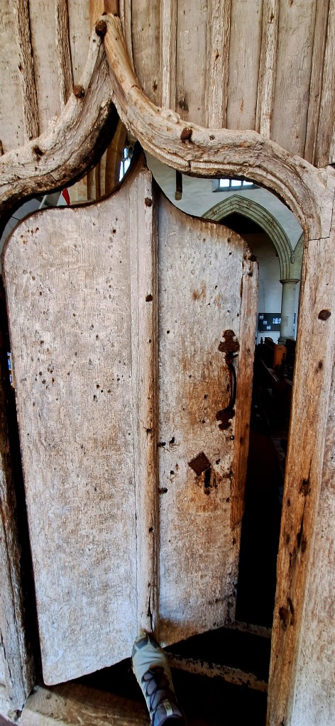
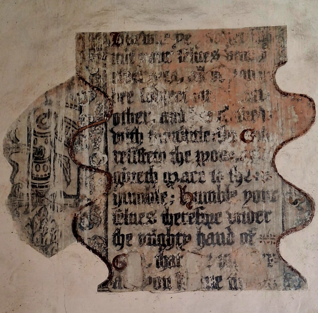
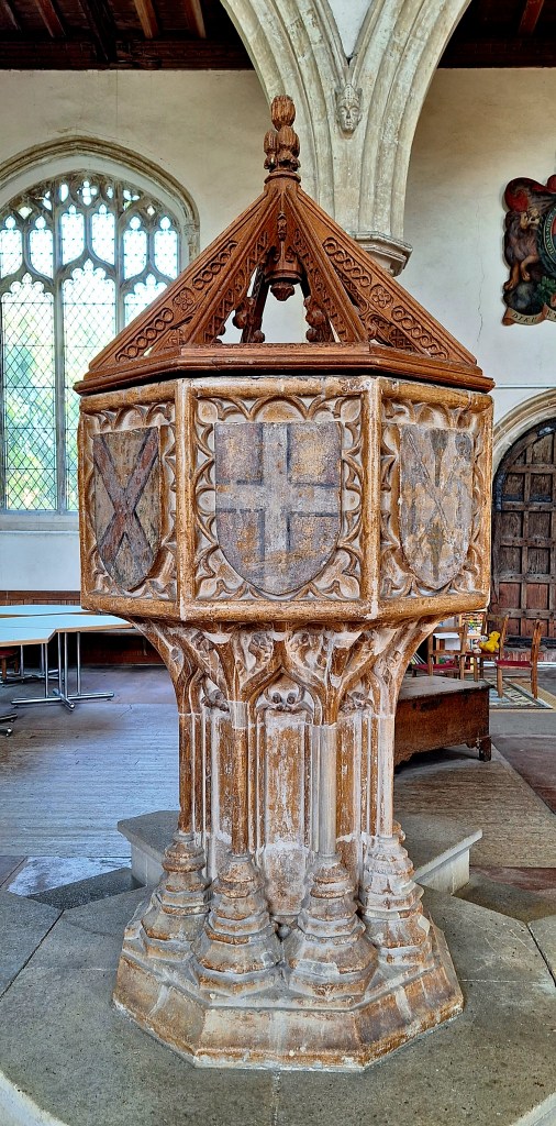
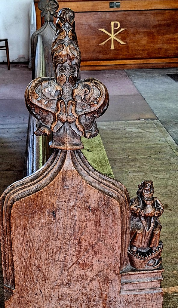
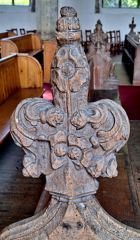
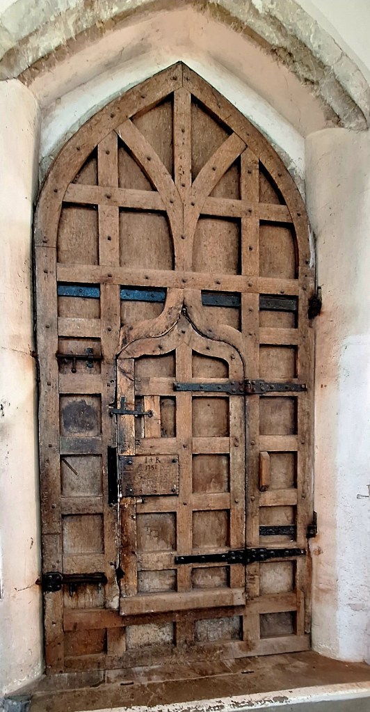
The trail then diverts inland to Brancaster. I was not going to walk another dusty Barley field. So I followed the road, a 30 min walk, to another lovely church
The Church of St Mary the Virgin, Titchwell, has an eleventh-century round tower.
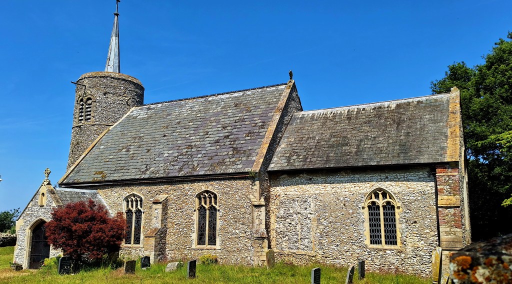
At Brancaster, the coast path continues through the marshes and creeks. However, the boardwalk and path were ‘permanently closed’. The locals, however, had other ideas
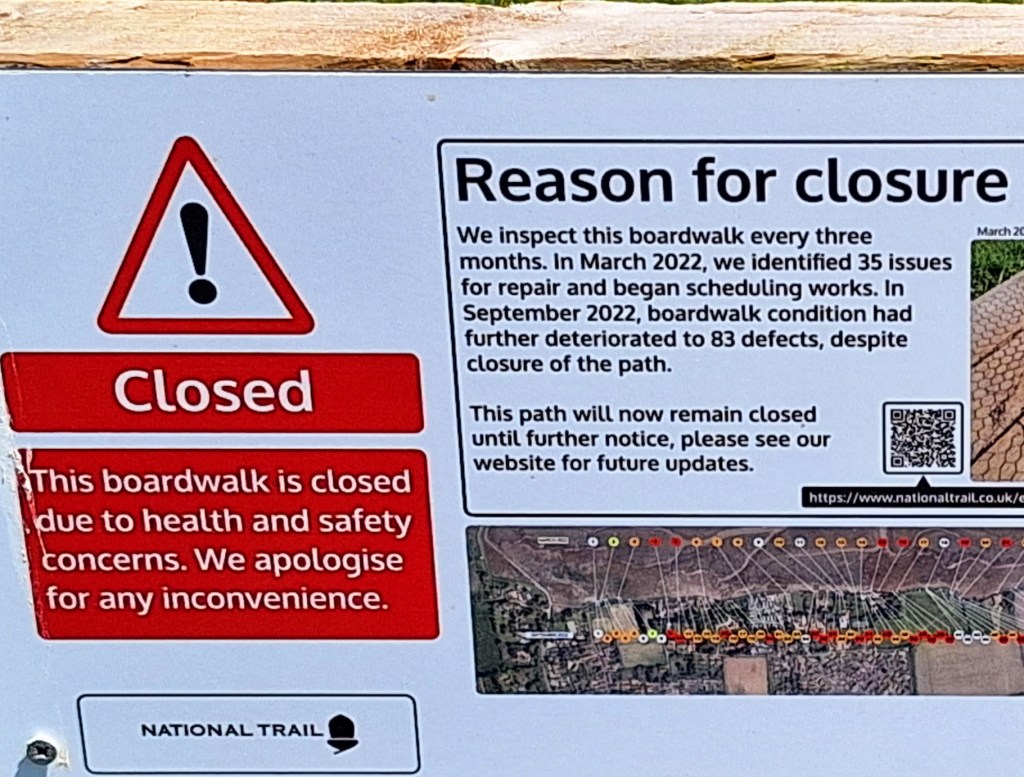
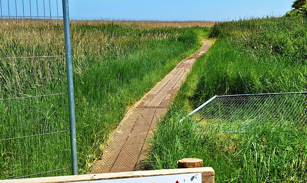
On I continued. It really wasn’t that bad
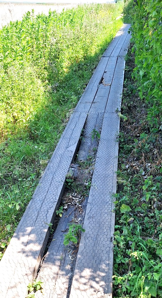
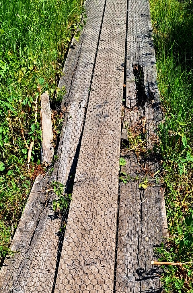
Safely on the other side, Burnham Deepdale was a good place to stop for lunch. It has a busy little ‘harbour’ with water sports and boat trips… and crabs
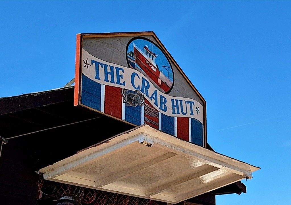
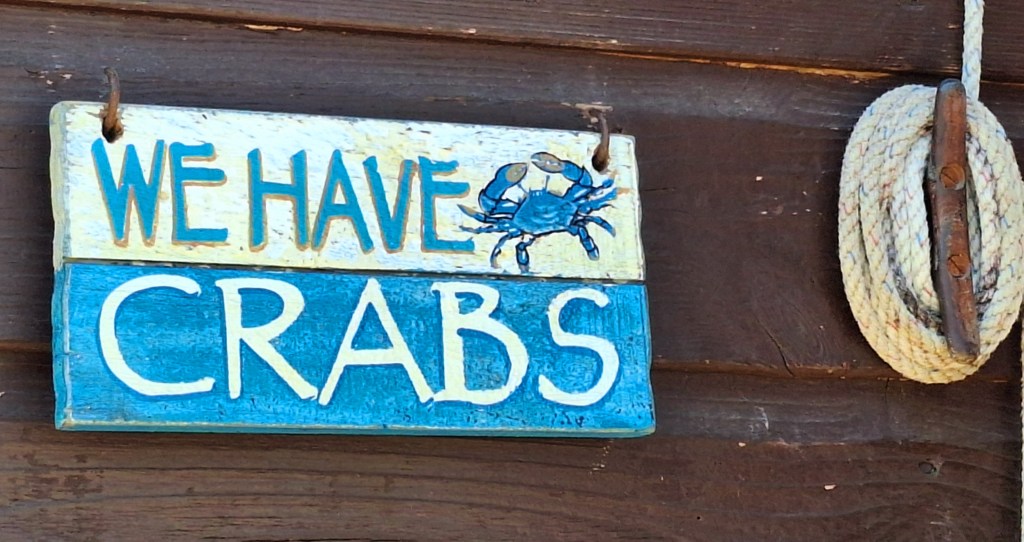
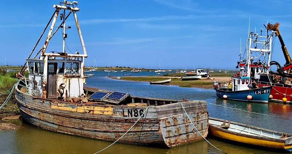
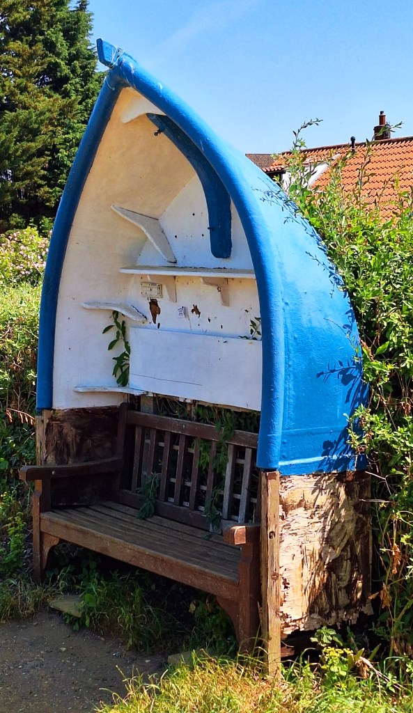
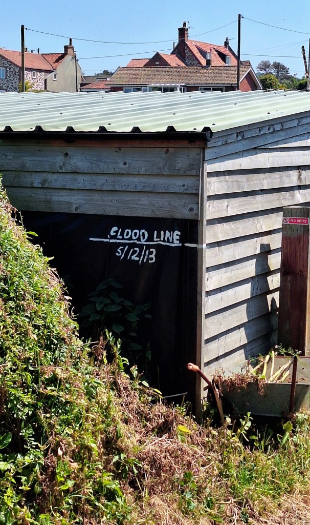
Signs here show the flood heights of 2013. Terrifying… read on
Information boards tell the story about the barley and beer industry. Ahaaa, it’s all starting to make sense now
The last part of today’s heavenly walk is along the sea defence bank back to Burnham Overy Staithes.
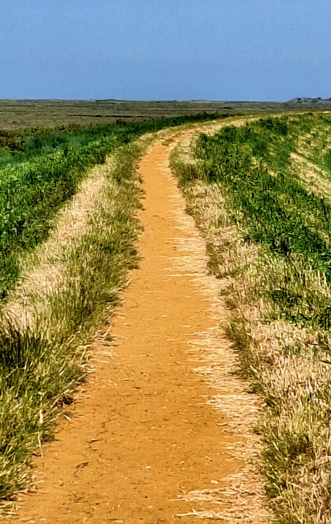
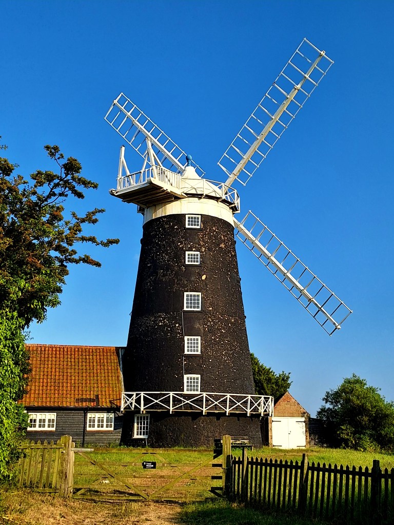
A refreshing swim greeted me at the end. The North Sea was surprisingly barmy, but the currents were strong for creeks. I didn’t stray too far from the shore.
They are pretty tight about overnight parking here, so I researched a campsite at Stiffkey, my stop for tonight
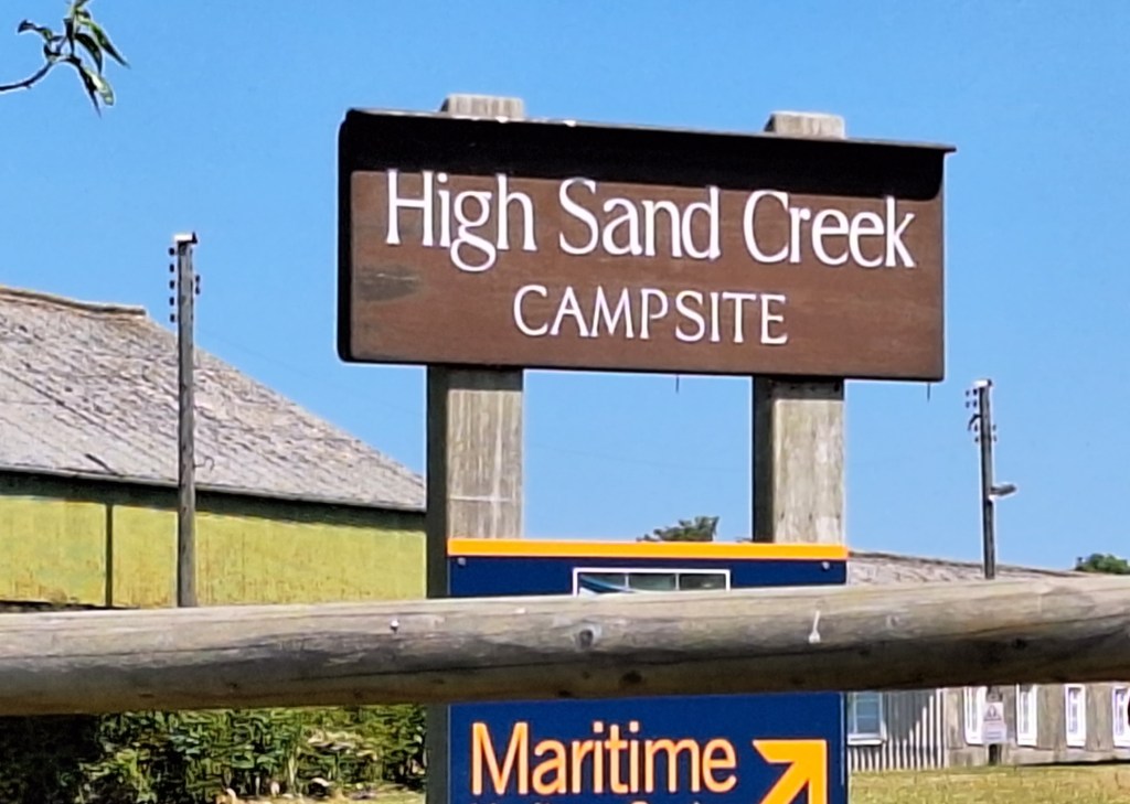
No shop, but great showers and views of the coast
If you enjoy my tales, you may wish to consider buying me a coffee.
ko-fi.com/fernweh


Leave a Reply