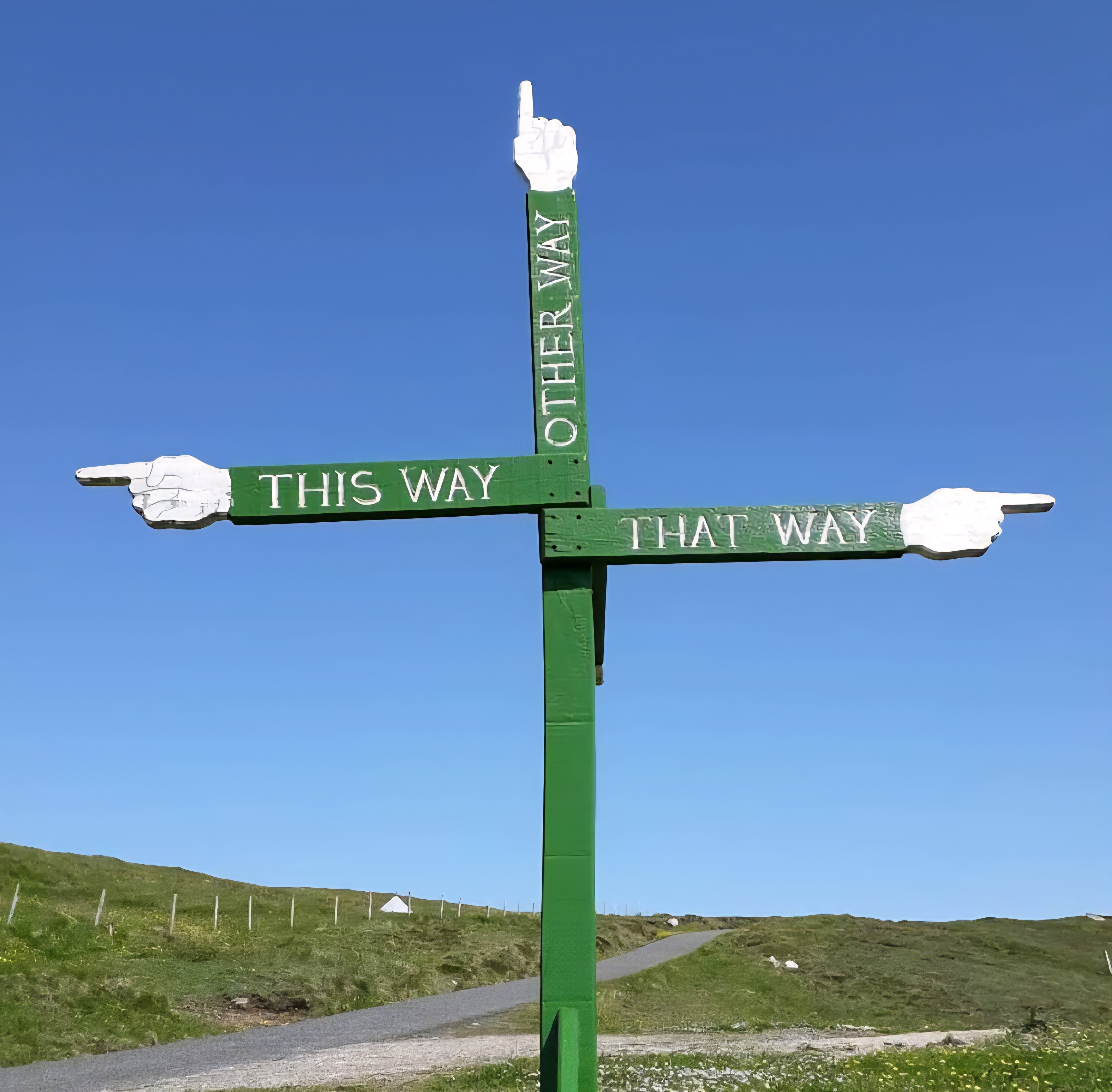

Chapter 2: Ancient Paths to The Land of the North Folk
The Story So Far…
In 2022, I set out to walk the first half of the Greater Ridgeway (Ivinghoe Beacon or Bust), following ancient trackways from Lyme Regis to Ivinghoe Beacon. It was a journey undertaken with little preparation, too much weight on my back, and more than a few doubts about whether I could make it.
Over sixteen days, I wandered through the ancient landscapes of Wessex, following paths trodden for thousands of years. There were highs and lows, moments of doubt and moments of wonder. Somewhere between the hillforts, wild camps, chalk tracks and endless views, I found my hiking mojo again.
What began as a physical challenge became something more. After two difficult years of lockdown isolation, the trail helped restore my fitness and sense of purpose. Against the odds, I reached Ivinghoe Beacon on schedule, completing the first 234 miles of the route.
But the journey was only half finished.
In Spring 2023, I returned to continue eastwards along the Icknield Way Path and Peddars Way, heading for the Norfolk coast and the true end of the Greater Ridgeway.
Thurs 1st June 2023 – The crazy journey
With my usual impulsivity, I jumped into my packed van straight after work and started the long drive to Norfolk. I wanted to make the best use of my time. It seemed like a good idea. After driving through the night, around 1am in the morning, I arrived in Hunstanton, found a little parking space and passed out in the back of the van
Fri 2nd June 2023 – Operation Public Transport
Waking bleary-eyed, I headed for the Tesco supermarket just down the road. The YourParkingSpace platform connects you with privately owned and commercially operated parking spaces across the UK and Ireland. You can book hourly, daily, or monthly. I had booked a space for the beast for the duration of my hike, or so I thought …
After I found a safe spot, I grabbed my gear and headed for the town square to catch the first of many buses that day, plus one train, to take me back to Ivinghoe. If any of these connections were late, it would throw a proper spanner in the works
Apart from a couple of near misses, the operation was surprisingly smooth. I arrived in Ivinghoe early evening and walked back up to Town Farm Campsite, ready for my start tomorrow.
Sat 3rd June 2023
Day 1: Ivinghoe Beacon to Streatley
(Approx 20 miles B&B The Chequers)
After sunset last night, the temperature dropped, so I retreated to my tent. I struggled to get warm, and a heavy dew fell in the night
A festival, a few fields over, their music, which had drifted in and out all evening, intensified at 2 am. I’m not even sure you could call it music. The wind had now dropped, so the bass carried across the night. Reverberating through the earth to my tent, waking the dead and disturbing the worms from their slumber
It raged on until sunrise, 4 a.m., then abruptly stopped. The world fell silent, and a soothing dawn chorus began. My weary body tried to fall into slumber, but my back now hurt, and I drifted in and out of sleep
So I lay listening to the skylarks’ cheery chatter above. The wind had picked up again; I shook the dew off the tent to dry. My bladder and waking campers finally got me up. The smell of bacon filled the air
Last night’s festivities were the talk of the town. Apparently, it’s on again tonight. I was glad I was leaving. After breaking camp and grabbing a coffee from the breakfast hut, I headed off rather later than intended, 9.15 am.
Leaving the campsite, I soon found myself back on familiar chalk paths. It felt good to move my limbs after my long journey here. It was quite a climb to get onto the ridge. But my pace was good, and I felt strong. A definite improvement on last year’s ‘fail to prepare, prepare to fail’
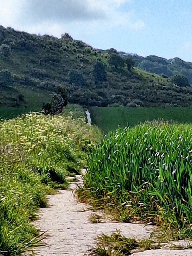
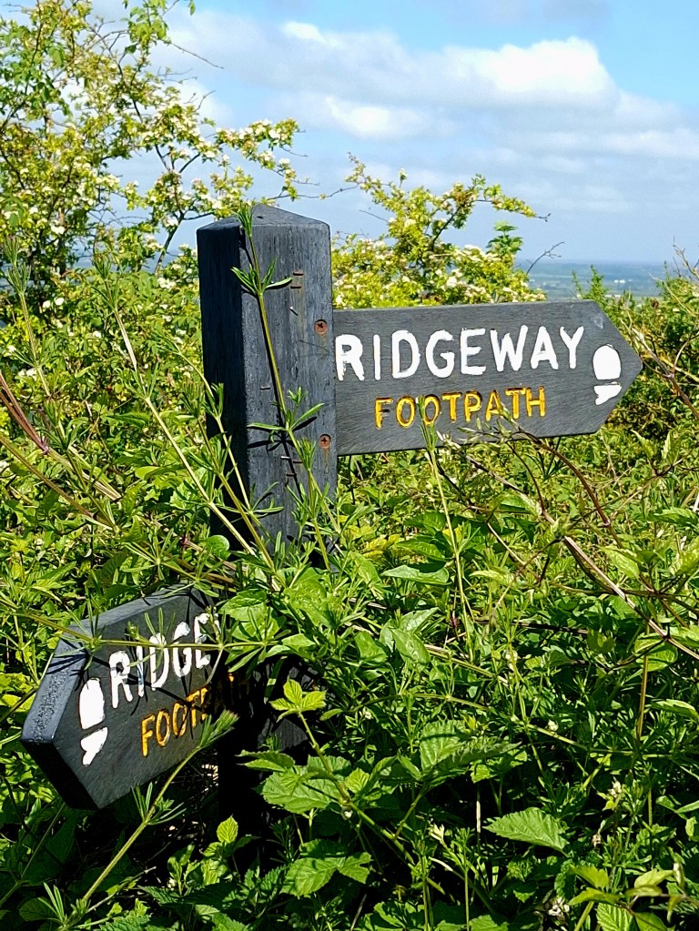
The paths were lined with pink-and-white hawthorn blossom. Lots of Kite displays, their haunting calls, and aerial acrobatics, a stark contrast to the frequent planes. We are on the flight path for Luton Airport
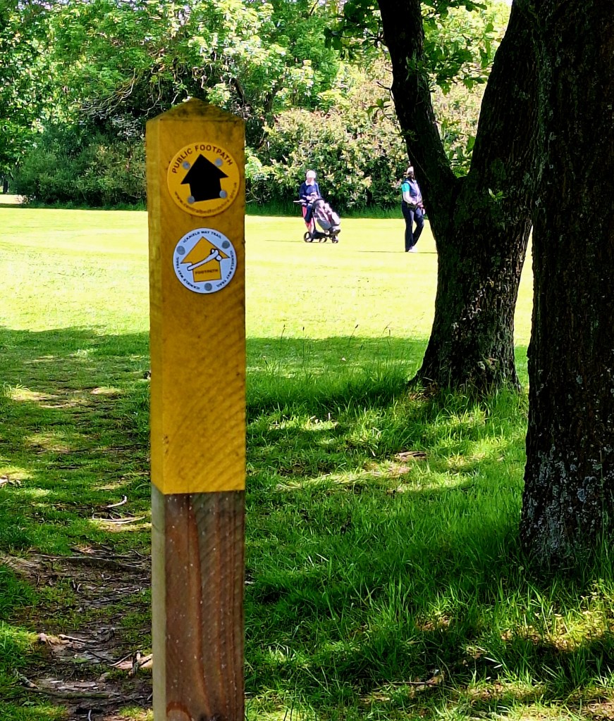
I turned off before Ivinghoe Beacon and picked up my first markers
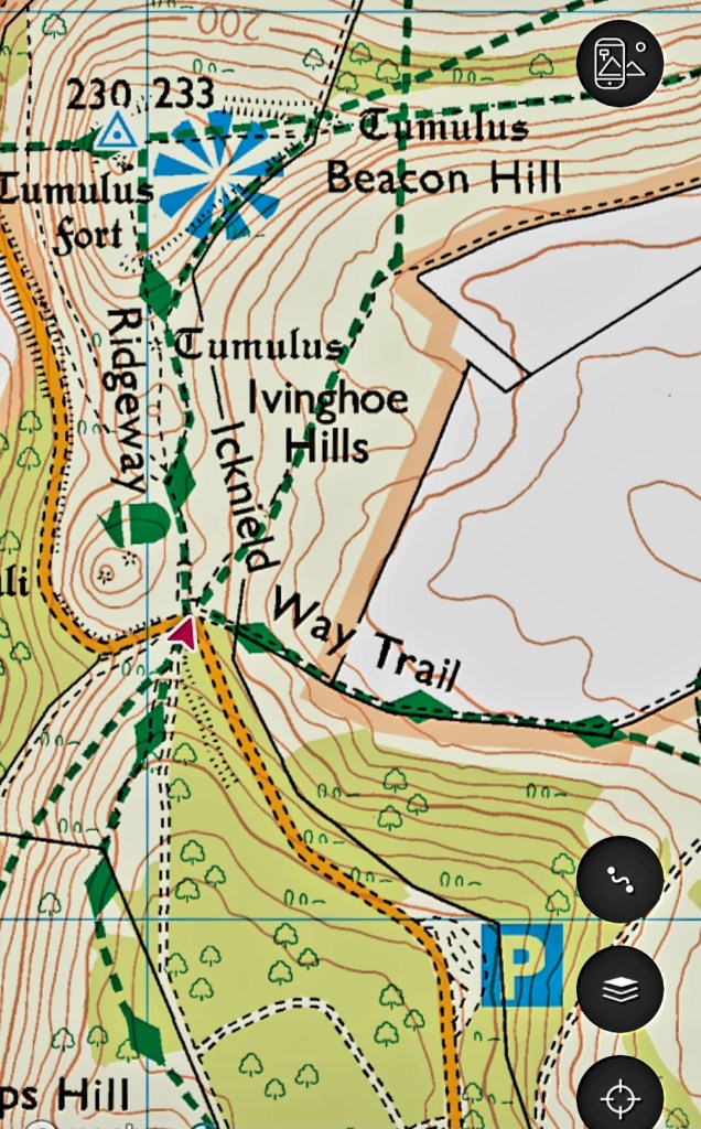
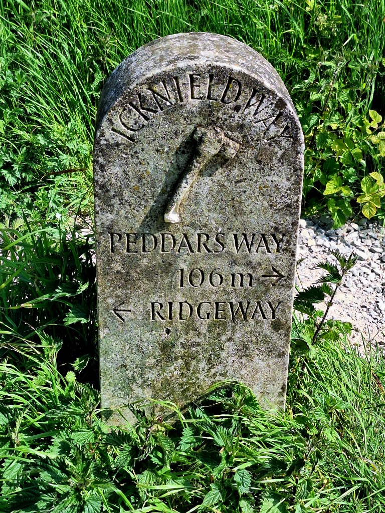
The Icknield Way’s logo is a Flint Axe, reflecting the historic connection between the Icknield Way and the flints of Norfolk.
Shortly, the trail entered woodland, filled with birdsong. I paused to try out my new cool ‘Merlin’ app. You can identify birds by photo or call
I know you are downloading it now…
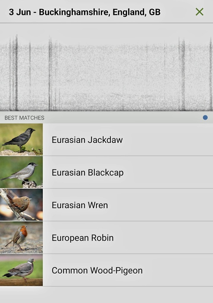
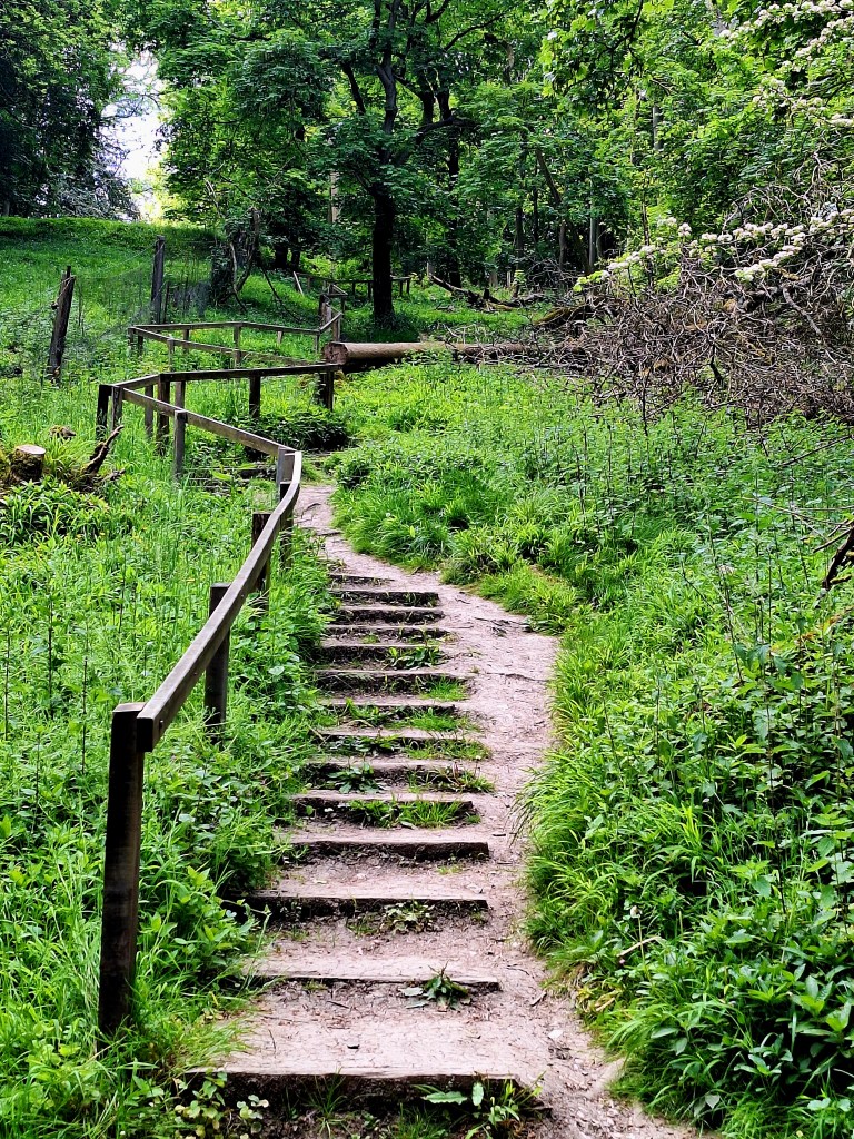
The weather felt heavy, and a headache dogged me all day. For most of the morning, I walked on shady trails, and a fresh wind kept me cool
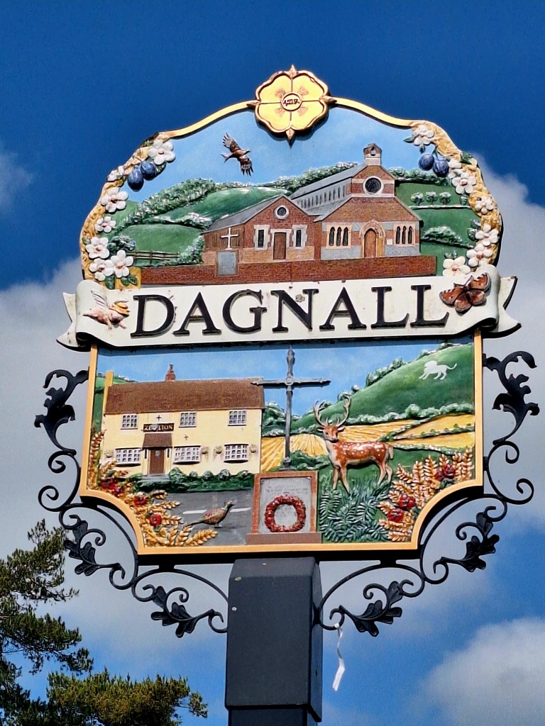
Took my life in my hands, crossing a golf course. A ball plopped on the ground by my feet. Those ladies have a mean swing
The trail follows the boundary fence of Whipsnade Zoo. It’s not every day that you see a herd of elephants on the trail
Midday, I arrived at the Tree Cathedral, which provided a good place to stop for ‘breakfast’. A two-day-old peanut butter and banana wrap and a boiled egg
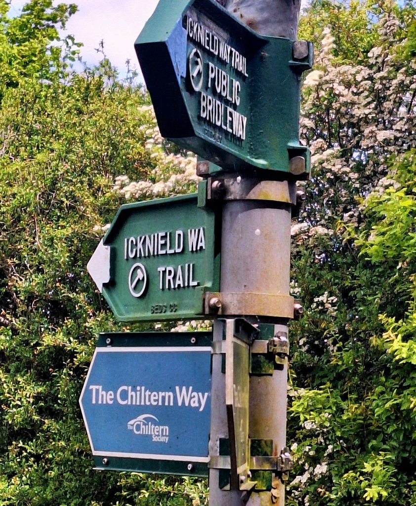
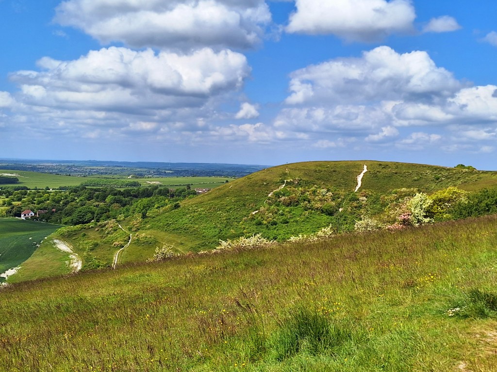
The trail follows the chalk ridge, parallel to the Chiltern Way, to the Chiltern centre. It’s kite-flying and hang-gliding central, with great views of the surrounding landscape. Another coffee to refuel, but I got it to go. It was getting late.
From here, it was a metalled cycle trail with little shade. It was hot and hard on the feet.
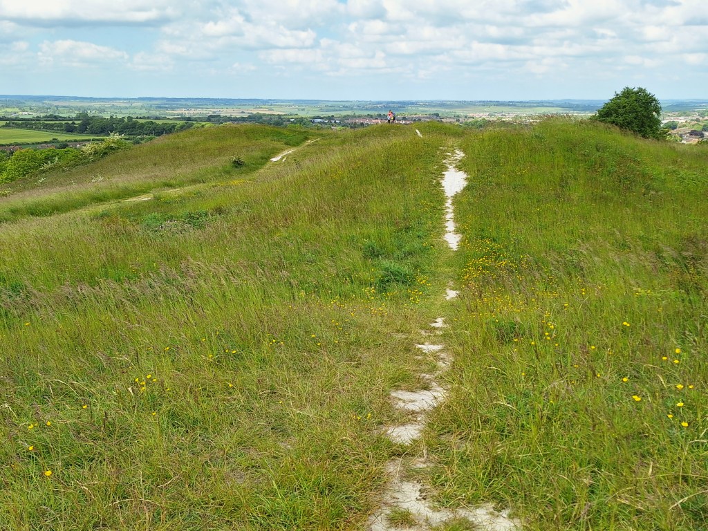
The five knolls lie at the end of the ridge, in ‘California’.
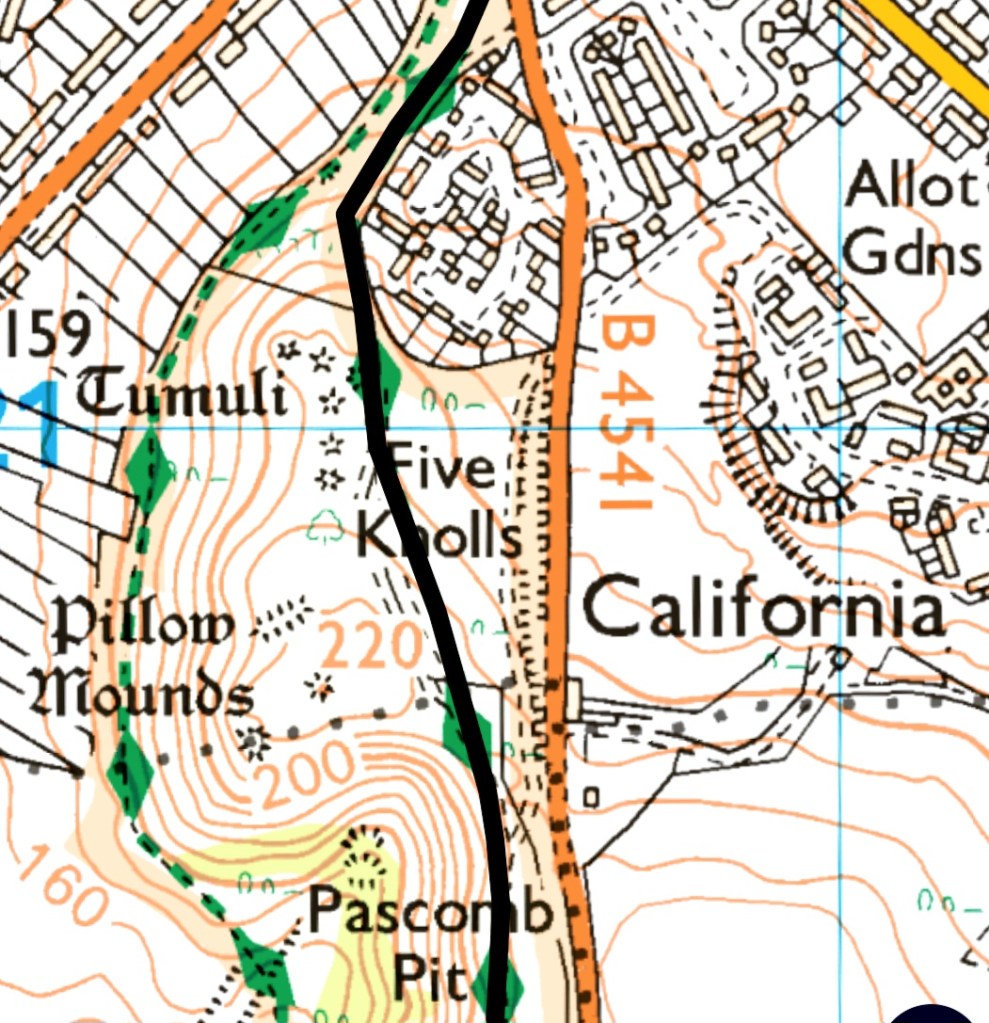
Then, the trail drops down onto the outskirts of Dunstable and Totternhoe. The latter boasts several knolls and Maiden Bower, which the trail passes.
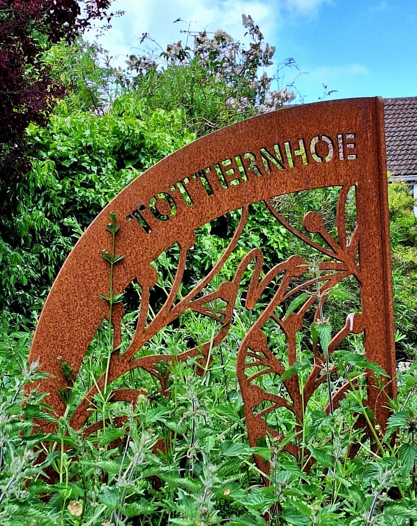
Feeling every kilo of my pack now, I trudged on to Sewell and some very confusing trail markers. Two led up a bank with no access, and one past Sewell Manor: take this one. It leaves the cycle path and onto leafy tracks
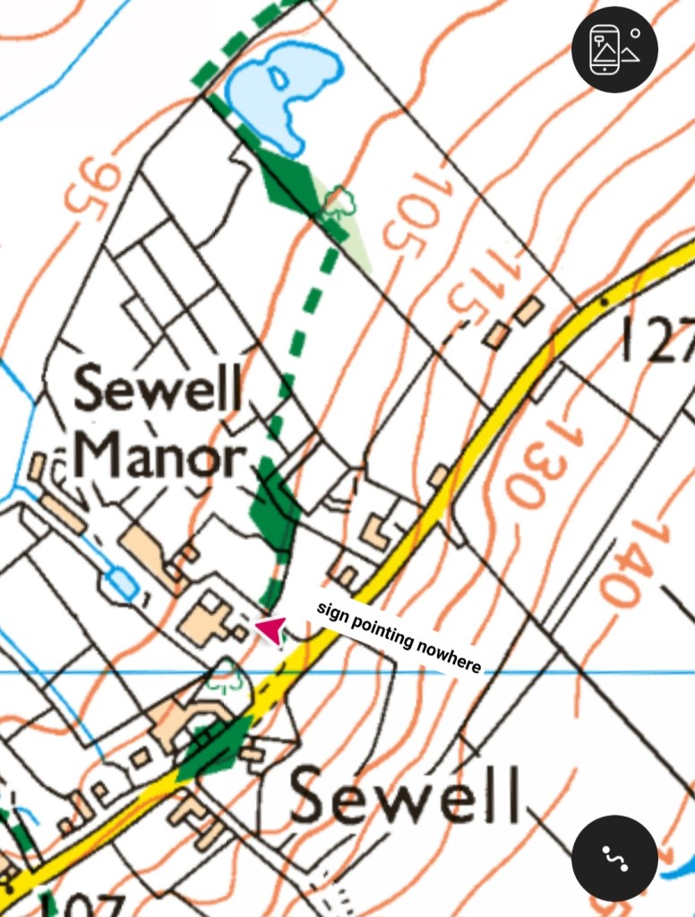
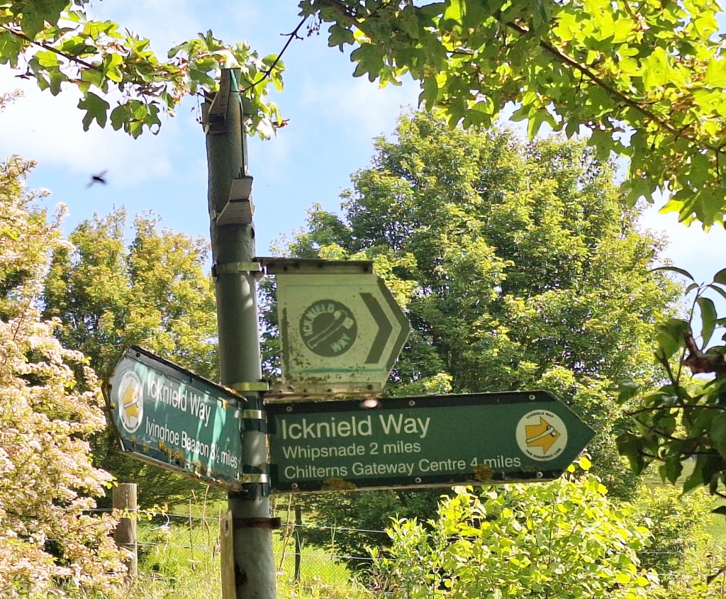
This was the first of four times that markers led me off route. I wouldn’t recommend following the Icknield Way markers. There are so many different routes that it’s easy to get lost. Plan and follow your route on OS maps
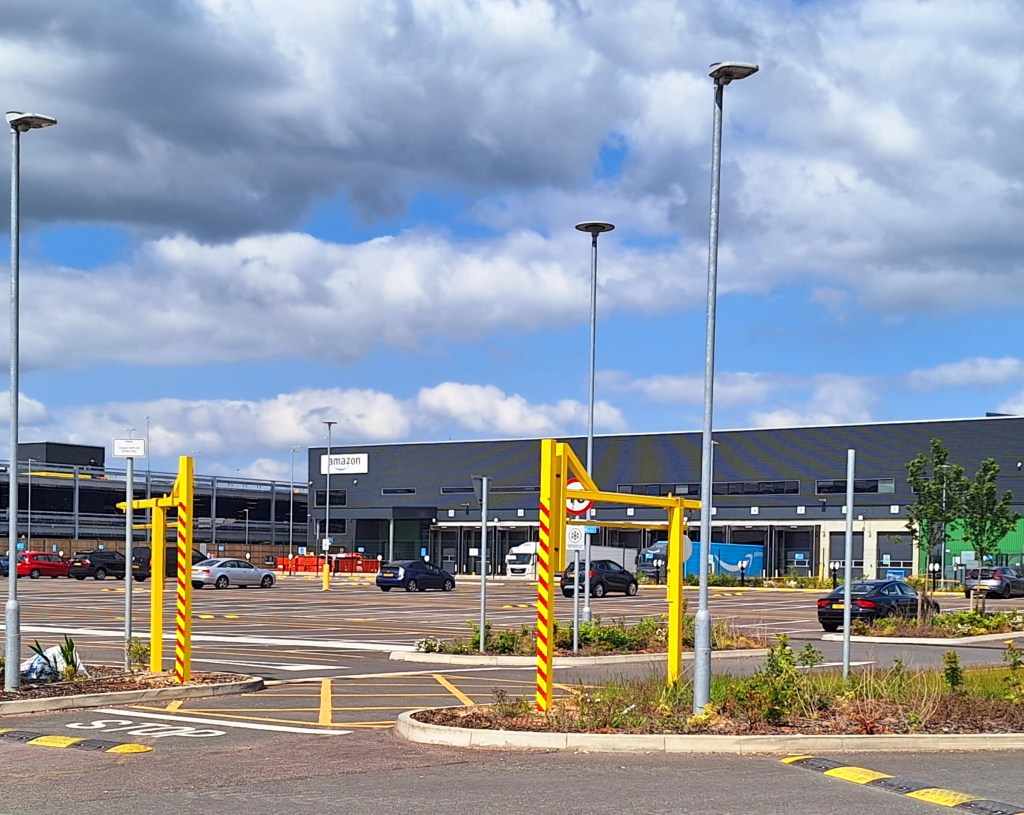
After crossing the A505, I was led off route again. The trail then passes through industrial areas. They have done well to make it pretty, but you can’t really disguise a huge Amazon warehouse and a housing estate.
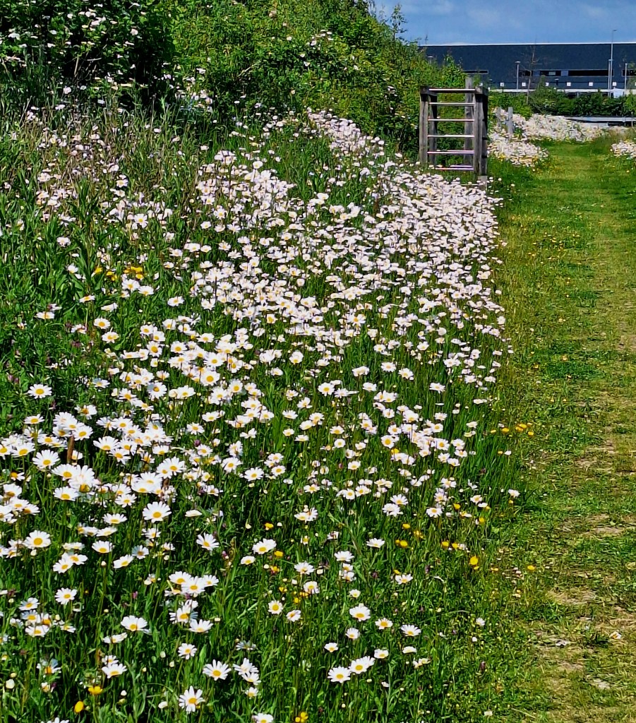
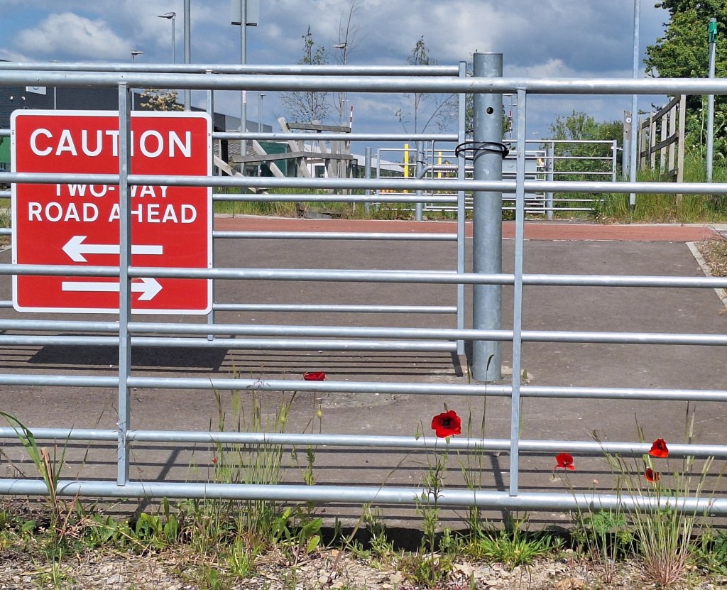
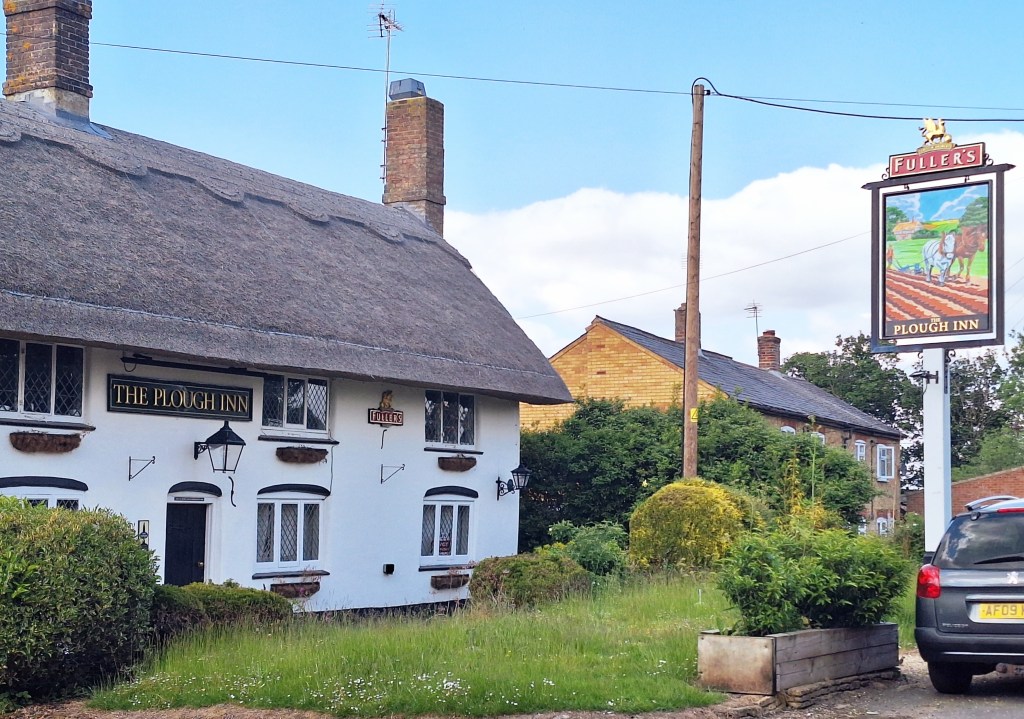
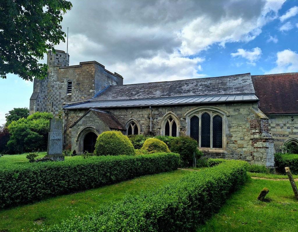
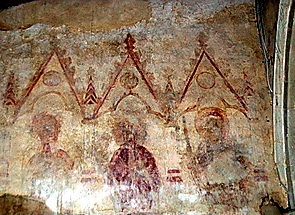
At Wingfield, an Icknield Way marker points left. I could see no sign of this marked on OS maps. Turn right past the pub, and stop at All Saints Church, Chalgrave. It contains medieval wall paintings.
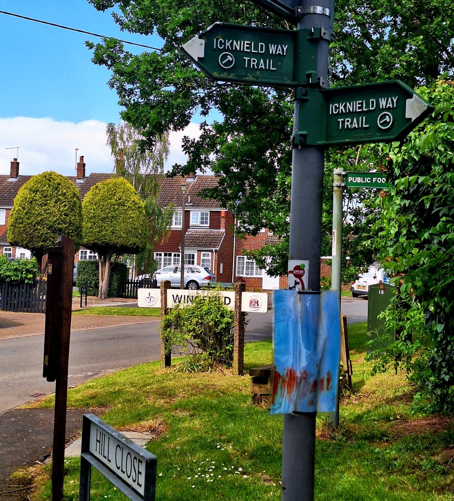

At White Hart Farm, three signs are on a post. Turn right down the road and pick up the path at the bottom to cross the M1 to Streatley
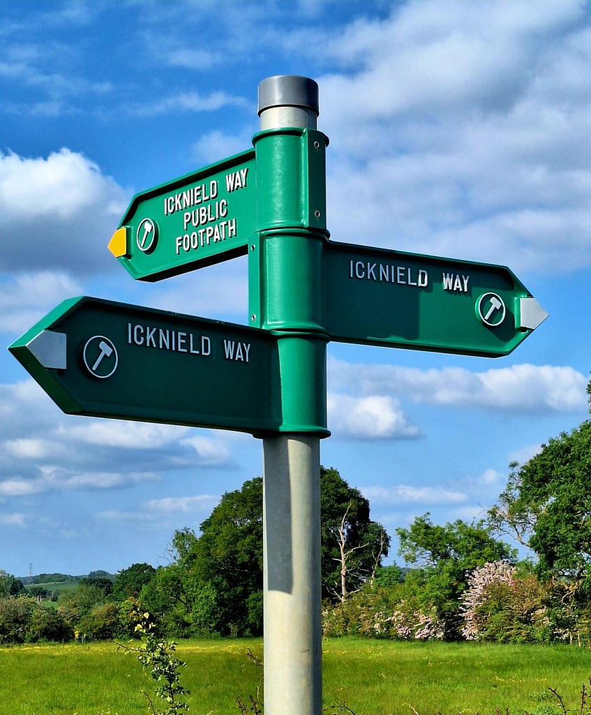
The middle post goes to Toddington, which is a documented end stage in guides
Pushing on over the M1, I was fatigued and had frequent cramps in my feet and legs. The last few miles, as always, feel the hardest. A gradual climb to ‘Upper’ Sundan, clue in the name.
The Icknield Way followed a ‘pointless’ long route from here. So I took a shortcut along the John Bunyan Trail to reach The Chequers by 7.15 pm.
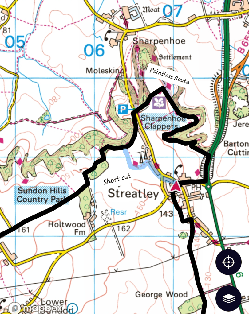
So what did we miss by not following the Icknield Way Trail? Sharpenhoe Clappers, an Iron Age promontory fort, medieval warren and associated medieval cultivation earthworks
Feeling rather sick from overexertion and sleep deprivation, I fell through the door and straight into a hot shower. Which promptly set off the smoke alarm
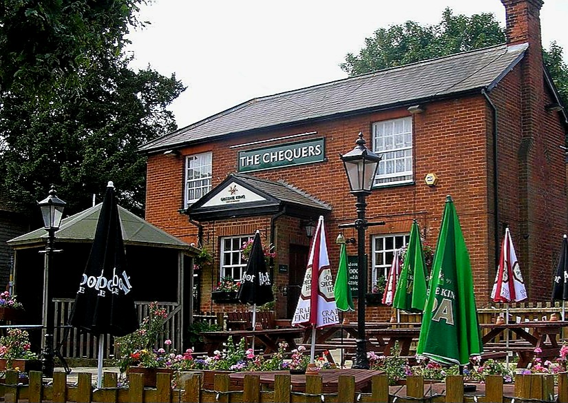
A nibble on a baked potato and beans settled my stomach. Then I retired, hoping for an early night. But alas, it’s Saturday night; a live 80s band is playing till midnight…
Another long day tomorrow; breakfast is not being served till 9 am. It’s too late for me, so they are making me a ham sandwich to go.
Good night…
If you enjoy my tales, you may wish to consider buying me a Coffee.
ko-fi.com/fernweh
Thank you, I will need them…


Leave a Reply